Näfels geodata
Näfels (Glarus) is a populated place; located in Switzerland in Europe/Zurich (GMT+2) time zone. With population of 3,978 people, there are 446 cities with bigger population in this country. Compared to other cities in Switzerland, 59% of cities are located further ↑North; 90.1% of cities are located further ←West and 71.5% of cities have higher elevation than Näfels. Note1


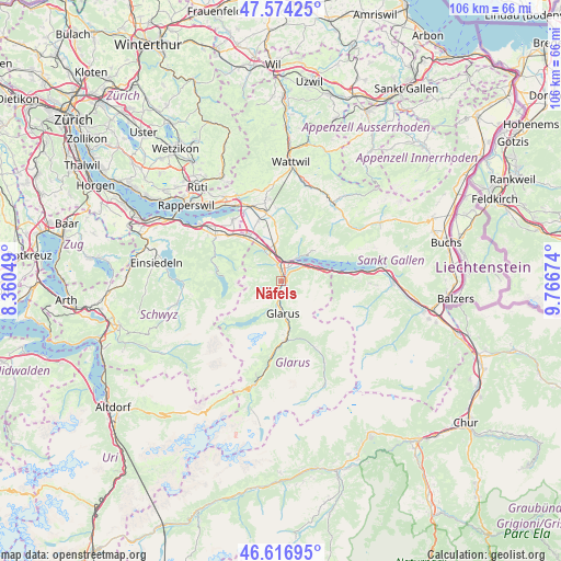
Näfels GPS coordinates[2]
47° 5' 51.9" North, 9° 3' 48.996" East
| Map corner | latitude | longitude |
|---|---|---|
| Upper-left | 47.57425°, | 8.36049° |
| Center: | 47.09775°, | 9.06361° |
| Lower-right: | 46.61695°, | 9.76674° |
| Map W x H: | 106.4×106.4 km | = 66.1×66.1mi |
| max Lat: | 47.76737° ⇑59% North |
| Näfels: | 47.09775° |
| min Lat: | ⇓41% South 45.83203° |
| min Long | Näfels | max Long |
| 5.97153° | 9.06361° | 10.44624° |
| W 90.1%⇐ | ⇒9.9% E |
Elevation
Elevation of Näfels is 437 m = 1434 ft, and this is 121.2 m = 398 ft below average elevation for this country.
| Max E: |
1845 m = 6053 ft | 71.5% |
| Avg. | 558.2 m = 1831 ft | |
| Näfels | 437 m = 1434 ft | |
Min E: |
197 m = 646 ft | 28.5% |
See also: Switzerland elevation on elevation.city.
Geographical zone
Näfels is located in North temperate zone (between Tropic of Cancer and the Arctic Circle). Distance of this North polar circle is 2164.4 km =1344.9 mi to North.| Distance of | km | miles | from Näfels |
|---|---|---|---|
| North Pole | 4770.3 | 2964.1 | to North |
| Arctic Circle | 2164.4 | 1344.9 | to North |
| Tropic Cancer | 2630.9 | 1634.8 | to South |
| Equator | 5236.8 | 3254 | to South |


Nearby cities:
15 places around Näfels: (largest is in red/bold)
• Amden
8.2 km =5.1 mi,  46°
46°
• Benken
12.1 km =7.5 mi,  339°
339°
• Bilten
6.5 km =4 mi,  333°
333°
• Ennenda
7.2 km =4.5 mi,  170°
170°
• Filzbach
5.7 km =3.5 mi,  65°
65°
• Glarus
6.4 km =4 mi,  176°
176°
• Mollis
1.2 km =0.7 mi,  146°
146°
• Netstal
3.9 km =2.4 mi,  187°
187°
• Niederurnen
3.2 km =2 mi,  347°
347°
• Oberurnen
1.9 km =1.2 mi, 348°
• Reichenburg
10.4 km =6.5 mi,  321°
321°
• Schwanden
11.4 km =7.1 mi, 177°
• Schänis
7.1 km =4.4 mi, 348°
• Vorderthal
12.5 km =7.8 mi,  282°
282°
• Weesen
4.8 km =3 mi,  31°
31°
Sources, notices
• [Note1] Compared only with cities in Switzerland existing in our database
• [Src1] Map data: © OpenStreetMap contributors (CC-BY-SA)
• [Src2] Other city data from geonames.org with taken over terms of usage.
• [Src3] Geographical zone / Annual Mean Temperature by Robert A. Rohde @ Wikipedia
