Birchwil geodata
Birchwil (Zurich) is a populated place; located in Switzerland in Europe/Zurich (GMT+2) time zone. With population of 1,066 people, there are 1285 cities with bigger population in this country. Compared to other cities in Switzerland, 83.3% of cities are located further ↓South; 69.2% of cities are located further ←West and 57.2% of cities have lower elevation than Birchwil. Note1


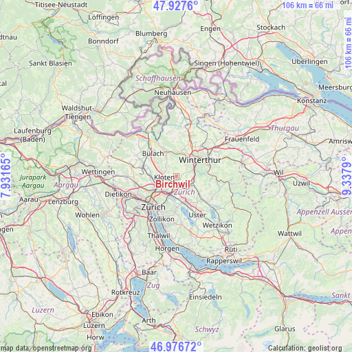
Birchwil GPS coordinates[2]
47° 27' 15.516" North, 8° 38' 5.172" East
| Map corner | latitude | longitude |
|---|---|---|
| Upper-left | 47.9276°, | 7.93165° |
| Center: | 47.45431°, | 8.63477° |
| Lower-right: | 46.97672°, | 9.3379° |
| Map W x H: | 105.7×105.7 km | = 65.7×65.7mi |
| max Lat: | 47.76737° ⇑16.7% North |
| Birchwil: | 47.45431° |
| min Lat: | ⇓83.3% South 45.83203° |
| min Long | Birchwil | max Long |
| 5.97153° | 8.63477° | 10.44624° |
| W 69.2%⇐ | ⇒30.8% E |
Elevation
Elevation of Birchwil is 505 m = 1657 ft, and this is 53.2 m = 175 ft below average elevation for this country.
| Max E: |
1845 m = 6053 ft | 42.8% |
| Avg. | 558.2 m = 1831 ft | |
| Birchwil | 505 m = 1657 ft | |
Min E: |
197 m = 646 ft | 57.2% |
See also: Switzerland elevation on elevation.city.
Geographical zone
Birchwil is located in North temperate zone (between Tropic of Cancer and the Arctic Circle). Distance of this North polar circle is 2124.7 km =1320.2 mi to North.| Distance of | km | miles | from Birchwil |
|---|---|---|---|
| North Pole | 4730.6 | 2939.5 | to North |
| Arctic Circle | 2124.7 | 1320.2 | to North |
| Tropic Cancer | 2670.5 | 1659.4 | to South |
| Equator | 5276.4 | 3278.6 | to South |


Nearby cities:
15 places around Birchwil: (largest is in red/bold)
• Bassersdorf
1.3 km =0.8 mi,  201°
201°
• Brütten
3.7 km =2.3 mi,  55°
55°
• Brüttisellen
3.6 km =2.2 mi,  182°
182°
• Dietlikon / Eichwiesen
4.1 km =2.5 mi, 195°
• Kloten
3.8 km =2.4 mi,  265°
265°
• Kloten / Geissberg
3.3 km =2.1 mi, 269°
• Kloten / Horainli
3.9 km =2.4 mi, 269°
• Kloten / Hostrass
3 km =1.9 mi, 266°
• Kloten / Kloten (Zentrum)
3.6 km =2.2 mi,  264°
264°
• Kloten / Rütlen
3.6 km =2.2 mi, 257°
• Kloten / Spitz
3.7 km =2.3 mi,  253°
253°
• Lindau
3.2 km =2 mi,  113°
113°
• Nürensdorf
1.3 km =0.8 mi,  122°
122°
• Oberembrach
3.9 km =2.4 mi,  341°
341°
• Tagelswangen
3.9 km =2.4 mi,  132°
132°
Sources, notices
• [Note1] Compared only with cities in Switzerland existing in our database
• [Src1] Map data: © OpenStreetMap contributors (CC-BY-SA)
• [Src2] Other city data from geonames.org with taken over terms of usage.
• [Src3] Geographical zone / Annual Mean Temperature by Robert A. Rohde @ Wikipedia
