Nürensdorf geodata
Nürensdorf (Zurich) is a populated place; located in Switzerland in Europe/Zurich (GMT+2) time zone. With population of 2,310 people, there are 735 cities with bigger population in this country. Compared to other cities in Switzerland, 82% of cities are located further ↓South; 70.2% of cities are located further ←West and 59% of cities have lower elevation than Nürensdorf. Note1


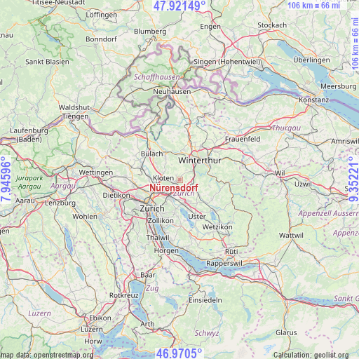
Nürensdorf GPS coordinates[2]
47° 26' 53.304" North, 8° 38' 56.688" East
| Map corner | latitude | longitude |
|---|---|---|
| Upper-left | 47.92149°, | 7.94596° |
| Center: | 47.44814°, | 8.64908° |
| Lower-right: | 46.9705°, | 9.35221° |
| Map W x H: | 105.7×105.7 km | = 65.7×65.7mi |
| max Lat: | 47.76737° ⇑18% North |
| Nürensdorf: | 47.44814° |
| min Lat: | ⇓82% South 45.83203° |
| min Long | Nürensdorf | max Long |
| 5.97153° | 8.64908° | 10.44624° |
| W 70.2%⇐ | ⇒29.8% E |
Elevation
Elevation of Nürensdorf is 513 m = 1683 ft, and this is 45.2 m = 148 ft below average elevation for this country.
| Max E: |
1845 m = 6053 ft | 41% |
| Avg. | 558.2 m = 1831 ft | |
| Nürensdorf | 513 m = 1683 ft | |
Min E: |
197 m = 646 ft | 59% |
See also: Switzerland elevation on elevation.city.
Geographical zone
Nürensdorf is located in North temperate zone (between Tropic of Cancer and the Arctic Circle). Distance of this North polar circle is 2125.4 km =1320.7 mi to North.| Distance of | km | miles | from Nürensdorf |
|---|---|---|---|
| North Pole | 4731.3 | 2939.9 | to North |
| Arctic Circle | 2125.4 | 1320.7 | to North |
| Tropic Cancer | 2669.8 | 1658.9 | to South |
| Equator | 5275.7 | 3278.2 | to South |


Nearby cities:
15 places around Nürensdorf: (largest is in red/bold)
• Bassersdorf
1.6 km =1 mi,  251°
251°
• Birchwil
1.3 km =0.8 mi,  302°
302°
• Brütten
3.4 km =2.1 mi,  35°
35°
• Brüttisellen
3.2 km =2 mi,  202°
202°
• Dietlikon / Dietlikon (Dorf)
4 km =2.5 mi,  214°
214°
• Dietlikon / Eichwiesen
3.9 km =2.4 mi, 213°
• Effretikon
4 km =2.5 mi,  128°
128°
• Effretikon / Brandenriet / Vogelsang
4.1 km =2.5 mi,  137°
137°
• Effretikon / Rikon
3.4 km =2.1 mi,  124°
124°
• Grafstal
3.8 km =2.4 mi,  97°
97°
• Kloten / Hostrass
4.1 km =2.5 mi,  276°
276°
• Lindau
1.9 km =1.2 mi,  107°
107°
• Tagelswangen
2.6 km =1.6 mi, 137°
• Wangen
4 km =2.5 mi,  184°
184°
• Winterberg
3.5 km =2.2 mi,  74°
74°
Sources, notices
• [Note1] Compared only with cities in Switzerland existing in our database
• [Src1] Map data: © OpenStreetMap contributors (CC-BY-SA)
• [Src2] Other city data from geonames.org with taken over terms of usage.
• [Src3] Geographical zone / Annual Mean Temperature by Robert A. Rohde @ Wikipedia
