Zhaohe geodata
Zhaohe (Henan) is a seat of a fourth-order administrative division; located in China in Asia/Shanghai (GMT+8) time zone. In our database, there are 1268 cities with bigger population. Compared to other cities in China, 67% of cities are located further ↓South; 58.4% of cities are located further →East and 52.1% of cities have higher elevation than Zhaohe. Note1


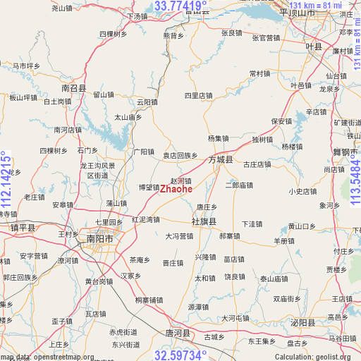
Zhaohe GPS coordinates[2]
33° 11' 15.864" North, 112° 50' 42.972" East
| Map corner | latitude | longitude |
|---|---|---|
| Upper-left | 33.77419°, | 112.14215° |
| Center: | 33.18774°, | 112.84527° |
| Lower-right: | 32.59734°, | 113.5484° |
| Map W x H: | 130.9×130.9 km | = 81.3×81.3mi |
| max Lat: | 53.31946° ⇑33% North |
| Zhaohe: | 33.18774° |
| min Lat: | ⇓67% South 18.22056° |
| min Long | Zhaohe | max Long |
| 75.07348° | 112.84527° | 134.28917° |
| W 41.6%⇐ | ⇒58.4% E |
Elevation
Elevation of Zhaohe is 149 m = 489 ft, and this is 335.8 m = 1102 ft below average elevation for this country.
| Max E: |
5622 m = 18445 ft | 52.1% |
| Avg. | 484.8 m = 1591 ft | |
| Zhaohe | 149 m = 489 ft | |
Min E: |
-3 m = -10 ft | 47.9% |
See also: China elevation on elevation.city.
Geographical zone
Zhaohe is located in North temperate zone (between Tropic of Cancer and the Arctic Circle). Distance of this Northern Tropic circle is 1084.2 km =673.7 mi to South.| Distance of | km | miles | from Zhaohe |
|---|---|---|---|
| North Pole | 6316.9 | 3925.1 | to North |
| Arctic Circle | 3711 | 2305.9 | to North |
| Tropic Cancer | 1084.2 | 673.7 | to South |
| Equator | 3690.1 | 2292.9 | to South |


Nearby cities:
15 places around Zhaohe: (largest is in red/bold)
• Bowang
9.4 km =5.8 mi,  260°
260°
• Chengjiao
17.1 km =10.6 mi,  153°
153°
• Dafengying
20.1 km =12.5 mi,  180°
180°
• Fangcheng Chengguanzhen
16.2 km =10.1 mi,  63°
63°
• Guangyang
17.2 km =10.7 mi,  308°
308°
• Huangludian
20.9 km =13 mi,  291°
291°
• Liuhe
15 km =9.3 mi,  343°
343°
• Pushan
24.5 km =15.2 mi,  252°
252°
• Qiaotou
15.1 km =9.4 mi,  192°
192°
• Qinghe
9 km =5.6 mi,  38°
38°
• Shedian
16.7 km =10.4 mi, 147°
• Tangzhuang
13.4 km =8.3 mi,  134°
134°
• Xuanqiao
11.5 km =7.1 mi,  109°
109°
• Yangji
20.7 km =12.9 mi, 41°
• Yuandianhui
9.4 km =5.8 mi,  359°
359°
Sources, notices
• [Note1] Compared only with cities in China existing in our database
• [Src1] Map data: © OpenStreetMap contributors (CC-BY-SA)
• [Src2] Other city data from geonames.org with taken over terms of usage.
• [Src3] Geographical zone / Annual Mean Temperature by Robert A. Rohde @ Wikipedia
