Zhangfang geodata
Zhangfang (Hunan) is a seat of a fourth-order administrative division; located in China in Asia/Shanghai (GMT+8) time zone. In our database, there are 1268 cities with bigger population. Compared to other cities in China, 71.2% of cities are located further ↑North; 50.7% of cities are located further →East and 58% of cities have lower elevation than Zhangfang. Note1


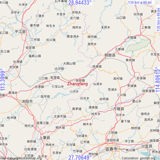
Zhangfang GPS coordinates[2]
28° 19' 37.956" North, 114° 6' 10.872" East
| Map corner | latitude | longitude |
|---|---|---|
| Upper-left | 28.94433°, | 113.3999° |
| Center: | 28.32721°, | 114.10302° |
| Lower-right: | 27.70649°, | 114.80615° |
| Map W x H: | 137.6×137.6 km | = 85.5×85.5mi |
| max Lat: | 53.31946° ⇑71.2% North |
| Zhangfang: | 28.32721° |
| min Lat: | ⇓28.8% South 18.22056° |
| min Long | Zhangfang | max Long |
| 75.07348° | 114.10302° | 134.28917° |
| W 49.3%⇐ | ⇒50.7% E |
Elevation
Elevation of Zhangfang is 236 m = 774 ft, and this is 248.8 m = 816 ft below average elevation for this country.
| Max E: |
5622 m = 18445 ft | 42% |
| Avg. | 484.8 m = 1591 ft | |
| Zhangfang | 236 m = 774 ft | |
Min E: |
-3 m = -10 ft | 58% |
See also: China elevation on elevation.city.
Geographical zone
Zhangfang is located in North temperate zone (between Tropic of Cancer and the Arctic Circle). Distance of this Northern Tropic circle is 543.8 km =337.9 mi to South.| Distance of | km | miles | from Zhangfang |
|---|---|---|---|
| North Pole | 6857.4 | 4261 | to North |
| Arctic Circle | 4251.5 | 2641.8 | to North |
| Tropic Cancer | 543.8 | 337.9 | to South |
| Equator | 3149.7 | 1957.1 | to South |


Nearby cities:
15 places around Zhangfang: (largest is in red/bold)
• Baisha
16.3 km =10.1 mi,  353°
353°
• Baishui
15.7 km =9.8 mi,  166°
166°
• Chixing
18.6 km =11.6 mi,  134°
134°
• Daweishan
17.6 km =10.9 mi,  328°
328°
• Gaocun
32.5 km =20.2 mi,  87°
87°
• Gaoqiao
32.8 km =20.4 mi,  18°
18°
• Heshikou
12.5 km =7.8 mi,  200°
200°
• Huangmao
24.6 km =15.3 mi,  186°
186°
• Jiaohu
28.5 km =17.7 mi,  105°
105°
• Lingdong
32.2 km =20 mi,  154°
154°
• Paibu
18.5 km =11.5 mi,  50°
50°
• Shuangqiao
26 km =16.2 mi, 127°
• Tanbu
25.9 km =16.1 mi, 154°
• Xianyuan
15.5 km =9.6 mi,  101°
101°
• Zhutan
31 km =19.3 mi, 169°
Sources, notices
• [Note1] Compared only with cities in China existing in our database
• [Src1] Map data: © OpenStreetMap contributors (CC-BY-SA)
• [Src2] Other city data from geonames.org with taken over terms of usage.
• [Src3] Geographical zone / Annual Mean Temperature by Robert A. Rohde @ Wikipedia
