Yucheng geodata
Yucheng (Shandong) is a populated place; located in China in Asia/Shanghai (GMT+8) time zone. With population of 62,365 people, there are 692 cities with bigger population in this country. Compared to other cities in China, 74.8% of cities are located further ↓South; 62.9% of cities are located further ←West and 74.8% of cities have higher elevation than Yucheng. Note1


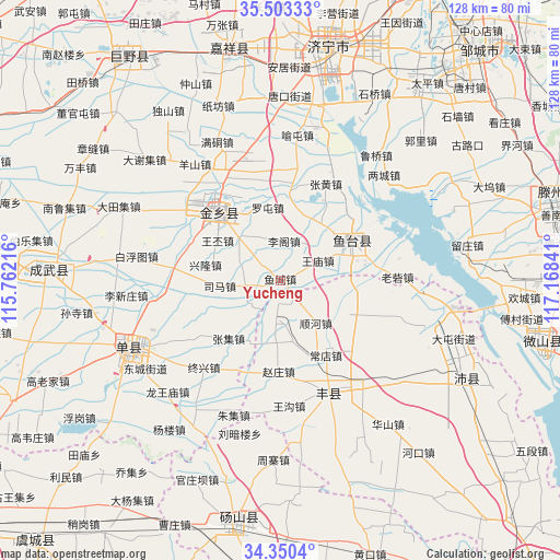
Yucheng GPS coordinates[2]
34° 55' 44.004" North, 116° 27' 55.008" East
| Map corner | latitude | longitude |
|---|---|---|
| Upper-left | 35.50333°, | 115.76216° |
| Center: | 34.92889°, | 116.46528° |
| Lower-right: | 34.3504°, | 117.16841° |
| Map W x H: | 128.2×128.2 km | = 79.7×79.7mi |
| max Lat: | 53.31946° ⇑25.2% North |
| Yucheng: | 34.92889° |
| min Lat: | ⇓74.8% South 18.22056° |
| min Long | Yucheng | max Long |
| 75.07348° | 116.46528° | 134.28917° |
| W 62.9%⇐ | ⇒37.1% E |
Elevation
Elevation of Yucheng is 37 m = 121 ft, and this is 447.8 m = 1469 ft below average elevation for this country.
| Max E: |
5622 m = 18445 ft | 74.8% |
| Avg. | 484.8 m = 1591 ft | |
| Yucheng | 37 m = 121 ft | |
Min E: |
-3 m = -10 ft | 25.2% |
See also: Yucheng elevation on elevation.city.
Geographical zone
Yucheng is located in North temperate zone (between Tropic of Cancer and the Arctic Circle). Distance of this Northern Tropic circle is 1277.8 km =794 mi to South.| Distance of | km | miles | from Yucheng |
|---|---|---|---|
| North Pole | 6123.3 | 3804.8 | to North |
| Arctic Circle | 3517.4 | 2185.6 | to North |
| Tropic Cancer | 1277.8 | 794 | to South |
| Equator | 3883.7 | 2413.2 | to South |


Nearby cities:
15 places around Yucheng: (largest is in red/bold)
• Chengtangcun
68.3 km =42.4 mi,  75°
75°
• Chengwu
53 km =32.9 mi,  273°
273°
• Chezhan
71.1 km =44.2 mi,  214°
214°
• Dangcheng
56.3 km =35 mi,  188°
188°
• Fengxian
27.4 km =17 mi,  156°
156°
• Jiaxiang
53 km =32.9 mi,  348°
348°
• Jining
54 km =33.6 mi,  11°
11°
• Juye
62.1 km =38.6 mi,  326°
326°
• Lingcheng
78.9 km =49 mi,  31°
31°
• Peicheng
47.1 km =29.3 mi,  117°
117°
• Shancheng
38 km =23.6 mi,  246°
246°
• Tangzhai
56.3 km =35 mi,  168°
168°
• Xiazhen
60.6 km =37.7 mi,  103°
103°
• Yanzhou
76.8 km =47.7 mi, 25°
• Zoucheng
69.4 km =43.1 mi,  40°
40°
Sources, notices
• [Note1] Compared only with cities in China existing in our database
• [Src1] Map data: © OpenStreetMap contributors (CC-BY-SA)
• [Src2] Other city data from geonames.org with taken over terms of usage.
• [Src3] Geographical zone / Annual Mean Temperature by Robert A. Rohde @ Wikipedia
