Zoucheng geodata
Zoucheng (Shandong) is a populated place; located in China in Asia/Shanghai (GMT+8) time zone. With population of 190,537 people, there are 238 cities with bigger population in this country. Compared to other cities in China, 75.8% of cities are located further ↓South; 65.8% of cities are located further ←West and 64.3% of cities have higher elevation than Zoucheng. Note1


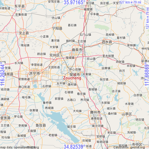
Zoucheng GPS coordinates[2]
35° 24' 2.016" North, 116° 57' 56.016" East
| Map corner | latitude | longitude |
|---|---|---|
| Upper-left | 35.97165°, | 116.26244° |
| Center: | 35.40056°, | 116.96556° |
| Lower-right: | 34.82539°, | 117.66869° |
| Map W x H: | 127.5×127.5 km | = 79.2×79.2mi |
| max Lat: | 53.31946° ⇑24.2% North |
| Zoucheng: | 35.40056° |
| min Lat: | ⇓75.8% South 18.22056° |
| min Long | Zoucheng | max Long |
| 75.07348° | 116.96556° | 134.28917° |
| W 65.8%⇐ | ⇒34.2% E |
Elevation
Elevation of Zoucheng is 76 m = 249 ft, and this is 408.8 m = 1341 ft below average elevation for this country.
| Max E: |
5622 m = 18445 ft | 64.3% |
| Avg. | 484.8 m = 1591 ft | |
| Zoucheng | 76 m = 249 ft | |
Min E: |
-3 m = -10 ft | 35.7% |
See also: Zoucheng elevation on elevation.city.
Geographical zone
Zoucheng is located in North temperate zone (between Tropic of Cancer and the Arctic Circle). Distance of this Northern Tropic circle is 1330.3 km =826.6 mi to South.| Distance of | km | miles | from Zoucheng |
|---|---|---|---|
| North Pole | 6070.9 | 3772.3 | to North |
| Arctic Circle | 3465 | 2153.1 | to North |
| Tropic Cancer | 1330.3 | 826.6 | to South |
| Equator | 3936.2 | 2445.8 | to South |


Nearby cities:
15 places around Zoucheng: (largest is in red/bold)
• Chengtangcun
40.7 km =25.3 mi,  149°
149°
• Jiaxiang
56 km =34.8 mi,  269°
269°
• Jining
34.8 km =21.6 mi, 270°
• Lingcheng
15.4 km =9.6 mi,  343°
343°
• Ningyang
43.4 km =27 mi, 338°
• Peicheng
74 km =46 mi,  182°
182°
• Pingyi
61.3 km =38.1 mi,  79°
79°
• Qufu
21.9 km =13.6 mi,  6°
6°
• Shanting
57.5 km =35.7 mi,  128°
128°
• Sishui
39.4 km =24.5 mi,  45°
45°
• Taozhuang
69.8 km =43.4 mi, 151°
• Wenshang
55.9 km =34.7 mi,  310°
310°
• Xiazhen
67.8 km =42.1 mi,  168°
168°
• Yanzhou
21 km =13 mi,  323°
323°
• Yucheng
69.4 km =43.1 mi,  220°
220°
Sources, notices
• [Note1] Compared only with cities in China existing in our database
• [Src1] Map data: © OpenStreetMap contributors (CC-BY-SA)
• [Src2] Other city data from geonames.org with taken over terms of usage.
• [Src3] Geographical zone / Annual Mean Temperature by Robert A. Rohde @ Wikipedia
