Xi’ao geodata
Xi’ao (Guangdong) is a seat of a fourth-order administrative division; located in China in Asia/Shanghai (GMT+8) time zone. In our database, there are 1268 cities with bigger population. Compared to other cities in China, 87.6% of cities are located further ↑North; 55.7% of cities are located further ←West and 63.9% of cities have lower elevation than Xi’ao. Note1


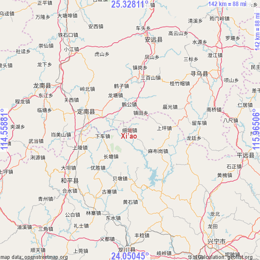
Xi’ao GPS coordinates[2]
24° 41' 27.312" North, 115° 15' 42.948" East
| Map corner | latitude | longitude |
|---|---|---|
| Upper-left | 25.32811°, | 114.55881° |
| Center: | 24.69092°, | 115.26193° |
| Lower-right: | 24.05045°, | 115.96506° |
| Map W x H: | 142.1×142.1 km | = 88.3×88.3mi |
| max Lat: | 53.31946° ⇑87.6% North |
| Xi’ao: | 24.69092° |
| min Lat: | ⇓12.4% South 18.22056° |
| min Long | Xi’ao | max Long |
| 75.07348° | 115.26193° | 134.28917° |
| W 55.7%⇐ | ⇒44.3% E |
Elevation
Elevation of Xi’ao is 309 m = 1014 ft, and this is 175.8 m = 577 ft below average elevation for this country.
| Max E: |
5622 m = 18445 ft | 36.1% |
| Avg. | 484.8 m = 1591 ft | |
| Xi’ao | 309 m = 1014 ft | |
Min E: |
-3 m = -10 ft | 63.9% |
See also: China elevation on elevation.city.
Geographical zone
Xi’ao is located in North temperate zone (between Tropic of Cancer and the Arctic Circle). Distance of this Northern Tropic circle is 139.5 km =86.7 mi to South.| Distance of | km | miles | from Xi’ao |
|---|---|---|---|
| North Pole | 7261.7 | 4512.2 | to North |
| Arctic Circle | 4655.8 | 2893 | to North |
| Tropic Cancer | 139.5 | 86.7 | to South |
| Equator | 2745.4 | 1705.9 | to South |


Nearby cities:
15 places around Xi’ao: (largest is in red/bold)
• Beidun
26.6 km =16.5 mi,  191°
191°
• Beiling
13.1 km =8.1 mi,  143°
143°
• Changpu
26.9 km =16.7 mi,  77°
77°
• Changtang
18.9 km =11.7 mi,  218°
218°
• Chenguang
25.3 km =15.7 mi,  59°
59°
• Chetian
28.7 km =17.8 mi,  175°
175°
• Kongtian
26.3 km =16.3 mi,  9°
9°
• Laocheng
27.5 km =17.1 mi,  269°
269°
• Lishi
26.3 km =16.3 mi,  298°
298°
• Mabugang
19.1 km =11.9 mi,  126°
126°
• Shangling
29.3 km =18.2 mi,  250°
250°
• Shangping
18.6 km =11.6 mi,  85°
85°
• Xiache
15.4 km =9.6 mi, 253°
• Yousheng
26.8 km =16.7 mi, 221°
• Zhentian
11.3 km =7 mi,  30°
30°
Sources, notices
• [Note1] Compared only with cities in China existing in our database
• [Src1] Map data: © OpenStreetMap contributors (CC-BY-SA)
• [Src2] Other city data from geonames.org with taken over terms of usage.
• [Src3] Geographical zone / Annual Mean Temperature by Robert A. Rohde @ Wikipedia
