Shetan geodata
Shetan (Chongqing) is a seat of a fourth-order administrative division; located in China in Asia/Shanghai (GMT+8) time zone. In our database, there are 1268 cities with bigger population. Compared to other cities in China, 54.1% of cities are located further ↑North; 81.8% of cities are located further →East and 67.1% of cities have lower elevation than Shetan. Note1


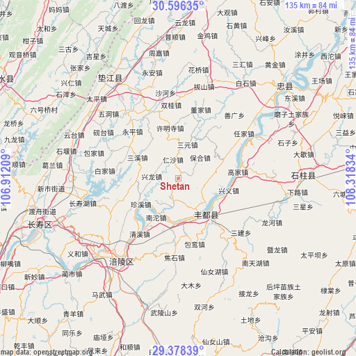
Shetan GPS coordinates[2]
29° 59' 21.264" North, 107° 36' 54.756" East
| Map corner | latitude | longitude |
|---|---|---|
| Upper-left | 30.59635°, | 106.91209° |
| Center: | 29.98924°, | 107.61521° |
| Lower-right: | 29.37839°, | 108.31834° |
| Map W x H: | 135.4×135.4 km | = 84.1×84.1mi |
| max Lat: | 53.31946° ⇑54.1% North |
| Shetan: | 29.98924° |
| min Lat: | ⇓45.9% South 18.22056° |
| min Long | Shetan | max Long |
| 75.07348° | 107.61521° | 134.28917° |
| W 18.2%⇐ | ⇒81.8% E |
Elevation
Elevation of Shetan is 361 m = 1184 ft, and this is 123.8 m = 406 ft below average elevation for this country.
| Max E: |
5622 m = 18445 ft | 32.9% |
| Avg. | 484.8 m = 1591 ft | |
| Shetan | 361 m = 1184 ft | |
Min E: |
-3 m = -10 ft | 67.1% |
See also: China elevation on elevation.city.
Geographical zone
Shetan is located in North temperate zone (between Tropic of Cancer and the Arctic Circle). Distance of this Northern Tropic circle is 728.6 km =452.7 mi to South.| Distance of | km | miles | from Shetan |
|---|---|---|---|
| North Pole | 6672.6 | 4146.2 | to North |
| Arctic Circle | 4066.7 | 2526.9 | to North |
| Tropic Cancer | 728.6 | 452.7 | to South |
| Equator | 3334.5 | 2072 | to South |


Nearby cities:
15 places around Shetan: (largest is in red/bold)
• Baohe
11.5 km =7.1 mi,  46°
46°
• Chongxing
10.2 km =6.3 mi,  273°
273°
• Huwei
9.6 km =6 mi,  166°
166°
• Nantuo
17.1 km =10.6 mi,  212°
212°
• Peixing
17.9 km =11.1 mi,  328°
328°
• Rensha
7.4 km =4.6 mi,  344°
344°
• Renyi
11.7 km =7.3 mi,  190°
190°
• Sanhe
17.4 km =10.8 mi,  140°
140°
• Sanxi
17.6 km =10.9 mi,  298°
298°
• Sanyuan
13.3 km =8.3 mi,  15°
15°
• Shizhi
18.6 km =11.6 mi,  67°
67°
• Shuanglongchang
18.9 km =11.7 mi,  32°
32°
• Shuren
11.9 km =7.4 mi,  91°
91°
• Zhanpu
16.2 km =10.1 mi, 172°
• Zhenxi
17.6 km =10.9 mi,  235°
235°
Sources, notices
• [Note1] Compared only with cities in China existing in our database
• [Src1] Map data: © OpenStreetMap contributors (CC-BY-SA)
• [Src2] Other city data from geonames.org with taken over terms of usage.
• [Src3] Geographical zone / Annual Mean Temperature by Robert A. Rohde @ Wikipedia
