Sanjie geodata
Sanjie (Zhejiang) is a seat of a fourth-order administrative division; located in China in Asia/Shanghai (GMT+8) time zone. In our database, there are 1268 cities with bigger population. Compared to other cities in China, 56.8% of cities are located further ↑North; 87.1% of cities are located further ←West and 92.7% of cities have higher elevation than Sanjie. Note1


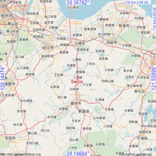
Sanjie GPS coordinates[2]
29° 45' 32.724" North, 120° 50' 52.296" East
| Map corner | latitude | longitude |
|---|---|---|
| Upper-left | 30.36762°, | 120.14474° |
| Center: | 29.75909°, | 120.84786° |
| Lower-right: | 29.14684°, | 121.55099° |
| Map W x H: | 135.7×135.7 km | = 84.3×84.3mi |
| max Lat: | 53.31946° ⇑56.8% North |
| Sanjie: | 29.75909° |
| min Lat: | ⇓43.2% South 18.22056° |
| min Long | Sanjie | max Long |
| 75.07348° | 120.84786° | 134.28917° |
| W 87.1%⇐ | ⇒12.9% E |
Elevation
Elevation of Sanjie is 8 m = 26 ft, and this is 476.8 m = 1564 ft below average elevation for this country.
| Max E: |
5622 m = 18445 ft | 92.7% |
| Avg. | 484.8 m = 1591 ft | |
| Sanjie | 8 m = 26 ft | |
Min E: |
-3 m = -10 ft | 7.3% |
See also: China elevation on elevation.city.
Geographical zone
Sanjie is located in North temperate zone (between Tropic of Cancer and the Arctic Circle). Distance of this Northern Tropic circle is 703 km =436.8 mi to South.| Distance of | km | miles | from Sanjie |
|---|---|---|---|
| North Pole | 6698.2 | 4162.1 | to North |
| Arctic Circle | 4092.3 | 2542.8 | to North |
| Tropic Cancer | 703 | 436.8 | to South |
| Equator | 3308.9 | 2056.1 | to South |


Nearby cities:
15 places around Sanjie: (largest is in red/bold)
• Changtang
22.4 km =13.9 mi,  346°
346°
• Chenxikou
20.8 km =12.9 mi,  71°
71°
• Chongren
21.6 km =13.4 mi,  219°
219°
• Gulai
21.2 km =13.2 mi,  249°
249°
• Haoba
21.8 km =13.5 mi,  359°
359°
• Huangze
21.3 km =13.2 mi,  159°
159°
• Pukou
14.2 km =8.8 mi,  176°
176°
• Ruanzhuang
17.6 km =10.9 mi,  82°
82°
• Shangpu
16.5 km =10.3 mi, 354°
• Shanhu
18.4 km =11.4 mi,  189°
189°
• Tangpu
12.9 km =8 mi,  331°
331°
• Wangtan
17.3 km =10.7 mi,  280°
280°
• Xiaguan
20 km =12.4 mi,  61°
61°
• Xianyan
9.9 km =6.2 mi,  199°
199°
• Zhangzhen
5.9 km =3.7 mi,  19°
19°
Sources, notices
• [Note1] Compared only with cities in China existing in our database
• [Src1] Map data: © OpenStreetMap contributors (CC-BY-SA)
• [Src2] Other city data from geonames.org with taken over terms of usage.
• [Src3] Geographical zone / Annual Mean Temperature by Robert A. Rohde @ Wikipedia
