Qingshan geodata
Qingshan (Anhui) is a seat of a fourth-order administrative division; located in China in Asia/Shanghai (GMT+8) time zone. In our database, there are 1268 cities with bigger population. Compared to other cities in China, 57.5% of cities are located further ↑North; 64.3% of cities are located further ←West and 68.7% of cities have higher elevation than Qingshan. Note1


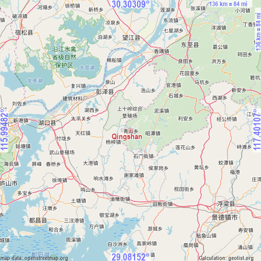
Qingshan GPS coordinates[2]
29° 41' 38.976" North, 116° 41' 52.584" East
| Map corner | latitude | longitude |
|---|---|---|
| Upper-left | 30.30309°, | 115.99482° |
| Center: | 29.69416°, | 116.69794° |
| Lower-right: | 29.08152°, | 117.40107° |
| Map W x H: | 135.8×135.8 km | = 84.4×84.4mi |
| max Lat: | 53.31946° ⇑57.5% North |
| Qingshan: | 29.69416° |
| min Lat: | ⇓42.5% South 18.22056° |
| min Long | Qingshan | max Long |
| 75.07348° | 116.69794° | 134.28917° |
| W 64.3%⇐ | ⇒35.7% E |
Elevation
Elevation of Qingshan is 57 m = 187 ft, and this is 427.8 m = 1404 ft below average elevation for this country.
| Max E: |
5622 m = 18445 ft | 68.7% |
| Avg. | 484.8 m = 1591 ft | |
| Qingshan | 57 m = 187 ft | |
Min E: |
-3 m = -10 ft | 31.3% |
See also: China elevation on elevation.city.
Geographical zone
Qingshan is located in North temperate zone (between Tropic of Cancer and the Arctic Circle). Distance of this Northern Tropic circle is 695.8 km =432.3 mi to South.| Distance of | km | miles | from Qingshan |
|---|---|---|---|
| North Pole | 6705.4 | 4166.5 | to North |
| Arctic Circle | 4099.5 | 2547.3 | to North |
| Tropic Cancer | 695.8 | 432.3 | to South |
| Equator | 3301.7 | 2051.6 | to South |


Nearby cities:
15 places around Qingshan: (largest is in red/bold)
• Dagang
26.5 km =16.5 mi,  231°
231°
• Dongsheng
15.2 km =9.4 mi,  359°
359°
• Haoshan
23 km =14.3 mi,  22°
22°
• Houjiagang
23.9 km =14.9 mi,  142°
142°
• Huanghua
21.2 km =13.2 mi,  331°
331°
• Huangling
17.4 km =10.8 mi,  312°
312°
• Longcheng
26.4 km =16.4 mi, 328°
• Longquan
12.7 km =7.9 mi,  118°
118°
• Nixi
19.4 km =12.1 mi,  55°
55°
• Rangxi
24.7 km =15.3 mi,  5°
5°
• Shimenjie
14.6 km =9.1 mi,  152°
152°
• Tianhong
25.1 km =15.6 mi,  267°
267°
• Tielu
9.6 km =6 mi,  173°
173°
• Xiejiatan
23 km =14.3 mi,  176°
176°
• Yangzi
10.8 km =6.7 mi,  237°
237°
Sources, notices
• [Note1] Compared only with cities in China existing in our database
• [Src1] Map data: © OpenStreetMap contributors (CC-BY-SA)
• [Src2] Other city data from geonames.org with taken over terms of usage.
• [Src3] Geographical zone / Annual Mean Temperature by Robert A. Rohde @ Wikipedia
