Qinghua geodata
Qinghua (Shaanxi) is a seat of a fourth-order administrative division; located in China in Asia/Shanghai (GMT+8) time zone. In our database, there are 1268 cities with bigger population. Compared to other cities in China, 72.3% of cities are located further ↓South; 81.1% of cities are located further →East and 78.6% of cities have lower elevation than Qinghua. Note1


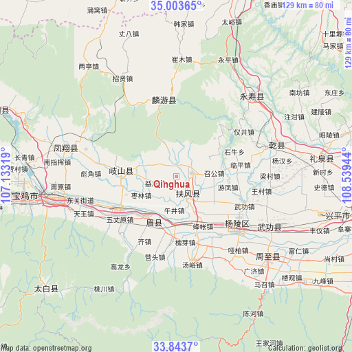
Qinghua GPS coordinates[2]
34° 25' 32.484" North, 107° 50' 10.716" East
| Map corner | latitude | longitude |
|---|---|---|
| Upper-left | 35.00365°, | 107.13319° |
| Center: | 34.42569°, | 107.83631° |
| Lower-right: | 33.8437°, | 108.53944° |
| Map W x H: | 129×129 km | = 80.2×80.2mi |
| max Lat: | 53.31946° ⇑27.7% North |
| Qinghua: | 34.42569° |
| min Lat: | ⇓72.3% South 18.22056° |
| min Long | Qinghua | max Long |
| 75.07348° | 107.83631° | 134.28917° |
| W 18.9%⇐ | ⇒81.1% E |
Elevation
Elevation of Qinghua is 639 m = 2096 ft, and this is 154.2 m = 506 ft above average elevation for this country.
| Max E: |
5622 m = 18445 ft | 21.4% |
| Qinghua | 639 m 2096 ft | |
| Avg. | 484.8 m = 1591 ft | |
Min E: |
-3 m = -10 ft | 78.6% |
See also: China elevation on elevation.city.
Geographical zone
Qinghua is located in North temperate zone (between Tropic of Cancer and the Arctic Circle). Distance of this Northern Tropic circle is 1221.9 km =759.3 mi to South.| Distance of | km | miles | from Qinghua |
|---|---|---|---|
| North Pole | 6179.3 | 3839.6 | to North |
| Arctic Circle | 3573.4 | 2220.4 | to North |
| Tropic Cancer | 1221.9 | 759.3 | to South |
| Equator | 3827.8 | 2378.5 | to South |


Nearby cities:
15 places around Qinghua: (largest is in red/bold)
• Daying
15.5 km =9.6 mi,  263°
263°
• Duanjia
14.4 km =8.9 mi,  153°
153°
• Famen
5.9 km =3.7 mi,  77°
77°
• Fufeng
8 km =5 mi, 154°
• Gujun
13.6 km =8.5 mi,  276°
276°
• Jingdang
7.3 km =4.5 mi,  350°
350°
• Nanyang
11 km =6.8 mi,  51°
51°
• Pucun
9.3 km =5.8 mi,  304°
304°
• Taibai
13.7 km =8.5 mi,  121°
121°
• Tiandu
13.7 km =8.5 mi,  57°
57°
• Wujing
12.3 km =7.6 mi,  184°
184°
• Yidian
8 km =5 mi,  252°
252°
• Zaolin
14.6 km =9.1 mi,  241°
241°
• Zhaogong
14.1 km =8.8 mi, 84°
• Zhujiazhuang
7.3 km =4.5 mi,  315°
315°
Sources, notices
• [Note1] Compared only with cities in China existing in our database
• [Src1] Map data: © OpenStreetMap contributors (CC-BY-SA)
• [Src2] Other city data from geonames.org with taken over terms of usage.
• [Src3] Geographical zone / Annual Mean Temperature by Robert A. Rohde @ Wikipedia
