Muxi geodata
Muxi (Sichuan) is a seat of a third-order administrative division; located in China in Asia/Shanghai (GMT+8) time zone. In our database, there are 1268 cities with bigger population. Compared to other cities in China, 65.8% of cities are located further ↑North; 90.4% of cities are located further →East and 69.4% of cities have lower elevation than Muxi. Note1


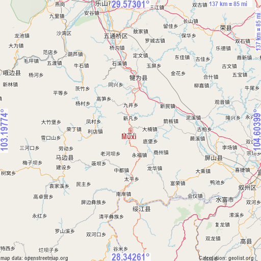
Muxi GPS coordinates[2]
28° 57' 34.704" North, 103° 54' 3.096" East
| Map corner | latitude | longitude |
|---|---|---|
| Upper-left | 29.57301°, | 103.19774° |
| Center: | 28.95964°, | 103.90086° |
| Lower-right: | 28.34261°, | 104.60399° |
| Map W x H: | 136.8×136.8 km | = 85×85mi |
| max Lat: | 53.31946° ⇑65.8% North |
| Muxi: | 28.95964° |
| min Lat: | ⇓34.2% South 18.22056° |
| min Long | Muxi | max Long |
| 75.07348° | 103.90086° | 134.28917° |
| W 9.6%⇐ | ⇒90.4% E |
Elevation
Elevation of Muxi is 400 m = 1312 ft, and this is 84.8 m = 278 ft below average elevation for this country.
| Max E: |
5622 m = 18445 ft | 30.6% |
| Avg. | 484.8 m = 1591 ft | |
| Muxi | 400 m = 1312 ft | |
Min E: |
-3 m = -10 ft | 69.4% |
See also: China elevation on elevation.city.
Geographical zone
Muxi is located in North temperate zone (between Tropic of Cancer and the Arctic Circle). Distance of this Northern Tropic circle is 614.1 km =381.6 mi to South.| Distance of | km | miles | from Muxi |
|---|---|---|---|
| North Pole | 6787.1 | 4217.3 | to North |
| Arctic Circle | 4181.2 | 2598.1 | to North |
| Tropic Cancer | 614.1 | 381.6 | to South |
| Equator | 3220 | 2000.8 | to South |


Nearby cities:
15 places around Muxi: (largest is in red/bold)
• Baixi
69.5 km =43.2 mi,  114°
114°
• Huiyi
49 km =30.4 mi,  141°
141°
• Leshan
68.3 km =42.4 mi,  348°
348°
• Luocheng
48.9 km =30.4 mi,  14°
14°
• Minjian
36.8 km =22.9 mi,  249°
249°
• Nahaping
58.8 km =36.5 mi,  184°
184°
• Shaping
68.7 km =42.7 mi,  296°
296°
• Shawan
61 km =37.9 mi,  325°
325°
• Taipingdian
54.4 km =33.8 mi, 144°
• Xiangjiaba
61 km =37.9 mi,  126°
126°
• Xinfa
43.3 km =26.9 mi, 109°
• Xishaqiao
73.5 km =45.7 mi,  173°
173°
• Yibin
73.6 km =45.7 mi, 106°
• Yujin
28.1 km =17.5 mi, 8°
• Zhongcheng
41.2 km =25.6 mi, 174°
Sources, notices
• [Note1] Compared only with cities in China existing in our database
• [Src1] Map data: © OpenStreetMap contributors (CC-BY-SA)
• [Src2] Other city data from geonames.org with taken over terms of usage.
• [Src3] Geographical zone / Annual Mean Temperature by Robert A. Rohde @ Wikipedia
