Laifang geodata
Laifang (Fujian) is a seat of a fourth-order administrative division; located in China in Asia/Shanghai (GMT+8) time zone. In our database, there are 1268 cities with bigger population. Compared to other cities in China, 82.7% of cities are located further ↑North; 65.4% of cities are located further ←West and 63.7% of cities have lower elevation than Laifang. Note1


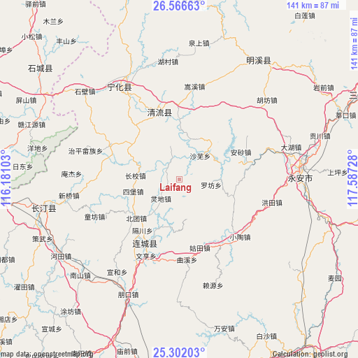
Laifang GPS coordinates[2]
25° 56' 9.708" North, 116° 53' 2.94" East
| Map corner | latitude | longitude |
|---|---|---|
| Upper-left | 26.56663°, | 116.18103° |
| Center: | 25.93603°, | 116.88415° |
| Lower-right: | 25.30203°, | 117.58728° |
| Map W x H: | 140.6×140.6 km | = 87.4×87.4mi |
| max Lat: | 53.31946° ⇑82.7% North |
| Laifang: | 25.93603° |
| min Lat: | ⇓17.3% South 18.22056° |
| min Long | Laifang | max Long |
| 75.07348° | 116.88415° | 134.28917° |
| W 65.4%⇐ | ⇒34.6% E |
Elevation
Elevation of Laifang is 307 m = 1007 ft, and this is 177.8 m = 583 ft below average elevation for this country.
| Max E: |
5622 m = 18445 ft | 36.3% |
| Avg. | 484.8 m = 1591 ft | |
| Laifang | 307 m = 1007 ft | |
Min E: |
-3 m = -10 ft | 63.7% |
See also: China elevation on elevation.city.
Geographical zone
Laifang is located in North temperate zone (between Tropic of Cancer and the Arctic Circle). Distance of this Northern Tropic circle is 277.9 km =172.7 mi to South.| Distance of | km | miles | from Laifang |
|---|---|---|---|
| North Pole | 7123.2 | 4426.1 | to North |
| Arctic Circle | 4517.4 | 2807 | to North |
| Tropic Cancer | 277.9 | 172.7 | to South |
| Equator | 2883.8 | 1791.9 | to South |


Nearby cities:
15 places around Laifang: (largest is in red/bold)
• Beituan
22.6 km =14 mi,  227°
227°
• Dengjia
5 km =3.1 mi,  244°
244°
• Gechuan
24.6 km =15.3 mi,  215°
215°
• Jiele
25.2 km =15.7 mi,  203°
203°
• Lijia
15.5 km =9.6 mi, 219°
• Lingdi
10.3 km =6.4 mi, 223°
• Litian
20.4 km =12.7 mi,  295°
295°
• Luofang
12.6 km =7.8 mi,  101°
101°
• Shawu
12.5 km =7.8 mi,  42°
42°
• Sibao
18.4 km =11.4 mi,  255°
255°
• Songkou
23.1 km =14.4 mi,  0°
0°
• Tianyuan
13.7 km =8.5 mi,  343°
343°
• Xiaoxi
17.2 km =10.7 mi,  275°
275°
• Xinggongxia
24.7 km =15.3 mi,  322°
322°
• Yupeng
24.1 km =15 mi, 40°
Sources, notices
• [Note1] Compared only with cities in China existing in our database
• [Src1] Map data: © OpenStreetMap contributors (CC-BY-SA)
• [Src2] Other city data from geonames.org with taken over terms of usage.
• [Src3] Geographical zone / Annual Mean Temperature by Robert A. Rohde @ Wikipedia
