Litian geodata
Litian (Fujian) is a seat of a fourth-order administrative division; located in China in Asia/Shanghai (GMT+8) time zone. In our database, there are 1268 cities with bigger population. Compared to other cities in China, 82.3% of cities are located further ↑North; 64.3% of cities are located further ←West and 71.1% of cities have lower elevation than Litian. Note1


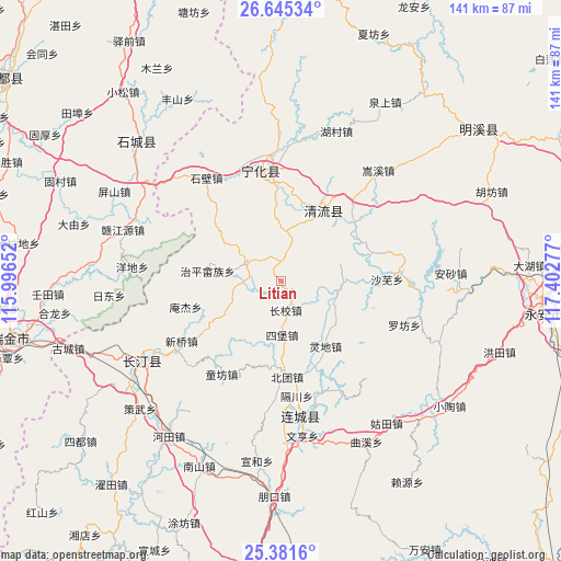
Litian GPS coordinates[2]
26° 0' 54.612" North, 116° 41' 58.704" East
| Map corner | latitude | longitude |
|---|---|---|
| Upper-left | 26.64534°, | 115.99652° |
| Center: | 26.01517°, | 116.69964° |
| Lower-right: | 25.3816°, | 117.40277° |
| Map W x H: | 140.5×140.5 km | = 87.3×87.3mi |
| max Lat: | 53.31946° ⇑82.3% North |
| Litian: | 26.01517° |
| min Lat: | ⇓17.7% South 18.22056° |
| min Long | Litian | max Long |
| 75.07348° | 116.69964° | 134.28917° |
| W 64.3%⇐ | ⇒35.7% E |
Elevation
Elevation of Litian is 433 m = 1421 ft, and this is 51.8 m = 170 ft below average elevation for this country.
| Max E: |
5622 m = 18445 ft | 28.9% |
| Avg. | 484.8 m = 1591 ft | |
| Litian | 433 m = 1421 ft | |
Min E: |
-3 m = -10 ft | 71.1% |
See also: China elevation on elevation.city.
Geographical zone
Litian is located in North temperate zone (between Tropic of Cancer and the Arctic Circle). Distance of this Northern Tropic circle is 286.7 km =178.1 mi to South.| Distance of | km | miles | from Litian |
|---|---|---|---|
| North Pole | 7114.4 | 4420.7 | to North |
| Arctic Circle | 4508.6 | 2801.5 | to North |
| Tropic Cancer | 286.7 | 178.1 | to South |
| Equator | 2892.6 | 1797.4 | to South |


Nearby cities:
15 places around Litian: (largest is in red/bold)
• Beituan
24 km =14.9 mi,  175°
175°
• Caofang
9.8 km =6.1 mi,  302°
302°
• Chengnan
22.3 km =13.9 mi,  3°
3°
• Dengjia
17.7 km =11 mi,  128°
128°
• Guanqian
17.9 km =11.1 mi,  240°
240°
• Laifang
20.4 km =12.7 mi,  115°
115°
• Lijia
22.6 km =14 mi,  157°
157°
• Lingdi
19.8 km =12.3 mi,  145°
145°
• Longjin
21.8 km =13.5 mi,  31°
31°
• Sibao
13.4 km =8.3 mi, 177°
• Songkou
23.6 km =14.7 mi,  52°
52°
• Tianyuan
15.2 km =9.4 mi,  73°
73°
• Xiaoxi
7.3 km =4.5 mi,  169°
169°
• Xinggongxia
11.3 km =7 mi,  17°
17°
• Zhiping Shezu
18.4 km =11.4 mi,  278°
278°
Sources, notices
• [Note1] Compared only with cities in China existing in our database
• [Src1] Map data: © OpenStreetMap contributors (CC-BY-SA)
• [Src2] Other city data from geonames.org with taken over terms of usage.
• [Src3] Geographical zone / Annual Mean Temperature by Robert A. Rohde @ Wikipedia
