Tianyuan geodata
Tianyuan (Fujian) is a seat of a fourth-order administrative division; located in China in Asia/Shanghai (GMT+8) time zone. In our database, there are 1268 cities with bigger population. Compared to other cities in China, 82.1% of cities are located further ↑North; 65.2% of cities are located further ←West and 62.1% of cities have lower elevation than Tianyuan. Note1


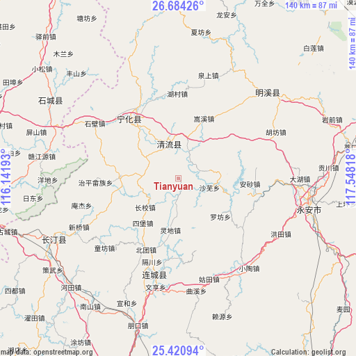
Tianyuan GPS coordinates[2]
26° 3' 15.48" North, 116° 50' 42.18" East
| Map corner | latitude | longitude |
|---|---|---|
| Upper-left | 26.68426°, | 116.14193° |
| Center: | 26.0543°, | 116.84505° |
| Lower-right: | 25.42094°, | 117.54818° |
| Map W x H: | 140.5×140.5 km | = 87.3×87.3mi |
| max Lat: | 53.31946° ⇑82.1% North |
| Tianyuan: | 26.0543° |
| min Lat: | ⇓17.9% South 18.22056° |
| min Long | Tianyuan | max Long |
| 75.07348° | 116.84505° | 134.28917° |
| W 65.2%⇐ | ⇒34.8% E |
Elevation
Elevation of Tianyuan is 284 m = 932 ft, and this is 200.8 m = 659 ft below average elevation for this country.
| Max E: |
5622 m = 18445 ft | 37.9% |
| Avg. | 484.8 m = 1591 ft | |
| Tianyuan | 284 m = 932 ft | |
Min E: |
-3 m = -10 ft | 62.1% |
See also: China elevation on elevation.city.
Geographical zone
Tianyuan is located in North temperate zone (between Tropic of Cancer and the Arctic Circle). Distance of this Northern Tropic circle is 291 km =180.8 mi to South.| Distance of | km | miles | from Tianyuan |
|---|---|---|---|
| North Pole | 7110.1 | 4418 | to North |
| Arctic Circle | 4504.2 | 2798.8 | to North |
| Tropic Cancer | 291 | 180.8 | to South |
| Equator | 2897 | 1800.1 | to South |


Nearby cities:
15 places around Tianyuan: (largest is in red/bold)
• Caofang
22.8 km =14.2 mi,  272°
272°
• Chengnan
22.2 km =13.8 mi,  323°
323°
• Dengjia
15.3 km =9.5 mi,  182°
182°
• Laifang
13.7 km =8.5 mi,  163°
163°
• Lingdi
20.8 km =12.9 mi,  188°
188°
• Litian
15.2 km =9.4 mi,  253°
253°
• Longjin
14.5 km =9 mi,  347°
347°
• Luofang
22.7 km =14.1 mi,  134°
134°
• Shawu
12.9 km =8 mi,  107°
107°
• Sibao
22.5 km =14 mi,  218°
218°
• Songkou
10.8 km =6.7 mi,  22°
22°
• Songxi
25.5 km =15.8 mi, 23°
• Xiaoxi
17.5 km =10.9 mi,  228°
228°
• Xinggongxia
12.8 km =8 mi,  300°
300°
• Yupeng
20.3 km =12.6 mi,  75°
75°
Sources, notices
• [Note1] Compared only with cities in China existing in our database
• [Src1] Map data: © OpenStreetMap contributors (CC-BY-SA)
• [Src2] Other city data from geonames.org with taken over terms of usage.
• [Src3] Geographical zone / Annual Mean Temperature by Robert A. Rohde @ Wikipedia
