Jiantianjie geodata
Jiantianjie (Jiangxi) is a seat of a fourth-order administrative division; located in China in Asia/Shanghai (GMT+8) time zone. In our database, there are 1268 cities with bigger population. Compared to other cities in China, 60.6% of cities are located further ↑North; 65.9% of cities are located further ←West and 74.1% of cities have higher elevation than Jiantianjie. Note1


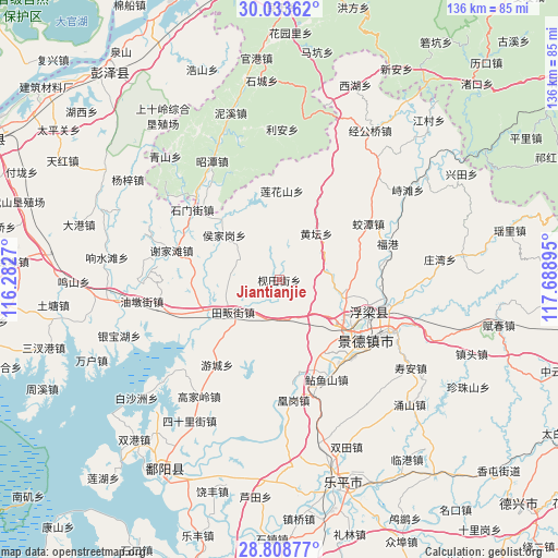
Jiantianjie GPS coordinates[2]
29° 25' 22.944" North, 116° 59' 8.952" East
| Map corner | latitude | longitude |
|---|---|---|
| Upper-left | 30.03362°, | 116.2827° |
| Center: | 29.42304°, | 116.98582° |
| Lower-right: | 28.80877°, | 117.68895° |
| Map W x H: | 136.2×136.2 km | = 84.6×84.6mi |
| max Lat: | 53.31946° ⇑60.6% North |
| Jiantianjie: | 29.42304° |
| min Lat: | ⇓39.4% South 18.22056° |
| min Long | Jiantianjie | max Long |
| 75.07348° | 116.98582° | 134.28917° |
| W 65.9%⇐ | ⇒34.1% E |
Elevation
Elevation of Jiantianjie is 39 m = 128 ft, and this is 445.8 m = 1463 ft below average elevation for this country.
| Max E: |
5622 m = 18445 ft | 74.1% |
| Avg. | 484.8 m = 1591 ft | |
| Jiantianjie | 39 m = 128 ft | |
Min E: |
-3 m = -10 ft | 25.9% |
See also: China elevation on elevation.city.
Geographical zone
Jiantianjie is located in North temperate zone (between Tropic of Cancer and the Arctic Circle). Distance of this Northern Tropic circle is 665.6 km =413.6 mi to South.| Distance of | km | miles | from Jiantianjie |
|---|---|---|---|
| North Pole | 6735.5 | 4185.2 | to North |
| Arctic Circle | 4129.6 | 2566 | to North |
| Tropic Cancer | 665.6 | 413.6 | to South |
| Equator | 3271.5 | 2032.8 | to South |


Nearby cities:
15 places around Jiantianjie: (largest is in red/bold)
• Fuliang
25.8 km =16 mi,  101°
101°
• Hongyuan
19.5 km =12.1 mi,  125°
125°
• Houjiagang
17.4 km =10.8 mi,  309°
309°
• Huangtan
14.2 km =8.8 mi,  39°
39°
• Jiaotan
26.1 km =16.2 mi,  57°
57°
• Jingcheng
27.3 km =17 mi,  124°
124°
• Jingdezhen
25.8 km =16 mi, 123°
• Jinpanling
9.8 km =6.1 mi,  174°
174°
• Lianhuashan
21.7 km =13.5 mi,  1°
1°
• Liyang
23 km =14.3 mi, 167°
• Lümeng
24.8 km =15.4 mi, 133°
• Nianyushan
26.6 km =16.5 mi,  154°
154°
• Sanlong
16 km =9.9 mi,  105°
105°
• Youcheng
25.6 km =15.9 mi,  215°
215°
• Zhegang
26.2 km =16.3 mi,  250°
250°
Sources, notices
• [Note1] Compared only with cities in China existing in our database
• [Src1] Map data: © OpenStreetMap contributors (CC-BY-SA)
• [Src2] Other city data from geonames.org with taken over terms of usage.
• [Src3] Geographical zone / Annual Mean Temperature by Robert A. Rohde @ Wikipedia
