Lin’an geodata
Lin’an (Yunnan) is a seat of a third-order administrative division; located in China in Asia/Shanghai (GMT+8) time zone. In our database, there are 1268 cities with bigger population. Compared to other cities in China, 91.7% of cities are located further ↑North; 91.8% of cities are located further →East and 89.5% of cities have lower elevation than Lin’an. Note1


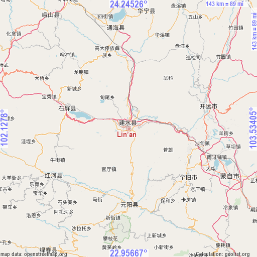
Lin’an GPS coordinates[2]
23° 36' 9.18" North, 102° 49' 51.312" East
| Map corner | latitude | longitude |
|---|---|---|
| Upper-left | 24.24526°, | 102.1278° |
| Center: | 23.60255°, | 102.83092° |
| Lower-right: | 22.95667°, | 103.53405° |
| Map W x H: | 143.3×143.3 km | = 89×89mi |
| max Lat: | 53.31946° ⇑91.7% North |
| Lin’an: | 23.60255° |
| min Lat: | ⇓8.3% South 18.22056° |
| min Long | Lin’an | max Long |
| 75.07348° | 102.83092° | 134.28917° |
| W 8.2%⇐ | ⇒91.8% E |
Elevation
Elevation of Lin’an is 1311 m = 4301 ft, and this is 826.2 m = 2711 ft above average elevation for this country.
| Max E: |
5622 m = 18445 ft | 10.5% |
| Lin’an | 1311 m 4301 ft | |
| Avg. | 484.8 m = 1591 ft | |
Min E: |
-3 m = -10 ft | 89.5% |
See also: China elevation on elevation.city.
Geographical zone
Lin’an is located in North temperate zone (between Tropic of Cancer and the Arctic Circle). Distance of this Northern Tropic circle is 18.4 km =11.4 mi to South.| Distance of | km | miles | from Lin’an |
|---|---|---|---|
| North Pole | 7382.7 | 4587.4 | to North |
| Arctic Circle | 4776.8 | 2968.2 | to North |
| Tropic Cancer | 18.4 | 11.4 | to South |
| Equator | 2624.4 | 1630.7 | to South |


Nearby cities:
15 places around Lin’an: (largest is in red/bold)
• Baigecun
64 km =39.8 mi,  344°
344°
• Gejiu
42.5 km =26.4 mi,  129°
129°
• Hexi
63 km =39.1 mi, 342°
• Huaxijie
55.7 km =34.6 mi,  19°
19°
• Jiujie
58.7 km =36.5 mi,  345°
345°
• Kaiyuan
49.3 km =30.6 mi,  77°
77°
• Lishan
52.9 km =32.9 mi, 350°
• Longwu
62.4 km =38.8 mi,  315°
315°
• Nansha
46.9 km =29.1 mi,  179°
179°
• Panjiang
55.2 km =34.3 mi,  32°
32°
• Sijie
64 km =39.8 mi, 348°
• Xiushan
56.9 km =35.4 mi, 352°
• Yangguang
59.6 km =37 mi,  356°
356°
• Yilong
36.4 km =22.6 mi,  285°
285°
• Yisa
49.3 km =30.6 mi,  232°
232°
Sources, notices
• [Note1] Compared only with cities in China existing in our database
• [Src1] Map data: © OpenStreetMap contributors (CC-BY-SA)
• [Src2] Other city data from geonames.org with taken over terms of usage.
• [Src3] Geographical zone / Annual Mean Temperature by Robert A. Rohde @ Wikipedia
