Hongshanyao geodata
Hongshanyao (Gansu) is a seat of a fourth-order administrative division; located in China in Asia/Shanghai (GMT+8) time zone. In our database, there are 1268 cities with bigger population. Compared to other cities in China, 81.4% of cities are located further ↓South; 93.3% of cities are located further →East and 95.5% of cities have lower elevation than Hongshanyao. Note1


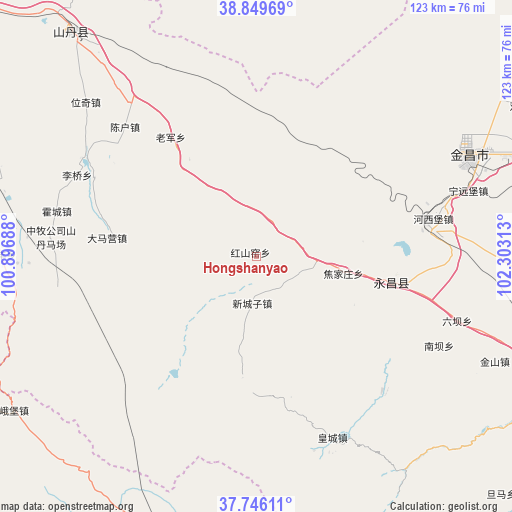
Hongshanyao GPS coordinates[2]
38° 18' 0" North, 101° 36' 0" East
| Map corner | latitude | longitude |
|---|---|---|
| Upper-left | 38.84969°, | 100.89688° |
| Center: | 38.3°, | 101.6° |
| Lower-right: | 37.74611°, | 102.30313° |
| Map W x H: | 122.7×122.7 km | = 76.2×76.2mi |
| max Lat: | 53.31946° ⇑18.6% North |
| Hongshanyao: | 38.3° |
| min Lat: | ⇓81.4% South 18.22056° |
| min Long | Hongshanyao | max Long |
| 75.07348° | 101.6° | 134.28917° |
| W 6.7%⇐ | ⇒93.3% E |
Elevation
Elevation of Hongshanyao is 2311 m = 7582 ft, and this is 1826.2 m = 5991 ft above average elevation for this country.
| Max E: |
5622 m = 18445 ft | 4.5% |
| Hongshanyao | 2311 m 7582 ft | |
| Avg. | 484.8 m = 1591 ft | |
Min E: |
-3 m = -10 ft | 95.5% |
See also: China elevation on elevation.city.
Geographical zone
Hongshanyao is located in North temperate zone (between Tropic of Cancer and the Arctic Circle). Distance of this Northern Tropic circle is 1652.6 km =1026.9 mi to South.| Distance of | km | miles | from Hongshanyao |
|---|---|---|---|
| North Pole | 5748.5 | 3572 | to North |
| Arctic Circle | 3142.6 | 1952.7 | to North |
| Tropic Cancer | 1652.6 | 1026.9 | to South |
| Equator | 4258.6 | 2646.2 | to South |


Nearby cities:
15 places around Hongshanyao: (largest is in red/bold)
• Ailibugai
63.1 km =39.2 mi,  357°
357°
• Beitan
48 km =29.8 mi,  156°
156°
• Damaying
35.7 km =22.2 mi,  281°
281°
• Dongtan
52 km =32.3 mi, 159°
• Guangzhoulu
54.2 km =33.7 mi,  65°
65°
• Huazhaizi
40.1 km =24.9 mi,  303°
303°
• Huocheng
48.9 km =30.4 mi, 283°
• Jinchang
56.3 km =35 mi, 66°
• Maying
37.1 km =23.1 mi, 164°
• Nanfeng
62.5 km =38.8 mi,  271°
271°
• Weiqi
57.2 km =35.5 mi,  310°
310°
• Xinchengzi
13 km =8.1 mi,  180°
180°
• Yangxiang
48.7 km =30.3 mi,  135°
135°
• Yongchang Chengguanzhen
36.8 km =22.9 mi,  95°
95°
• Yonggu
57.3 km =35.6 mi, 279°
Sources, notices
• [Note1] Compared only with cities in China existing in our database
• [Src1] Map data: © OpenStreetMap contributors (CC-BY-SA)
• [Src2] Other city data from geonames.org with taken over terms of usage.
• [Src3] Geographical zone / Annual Mean Temperature by Robert A. Rohde @ Wikipedia
