Yangxiang geodata
Yangxiang (Gansu) is a seat of a fourth-order administrative division; located in China in Asia/Shanghai (GMT+8) time zone. In our database, there are 1268 cities with bigger population. Compared to other cities in China, 80.9% of cities are located further ↓South; 92.9% of cities are located further →East and 96.1% of cities have lower elevation than Yangxiang. Note1


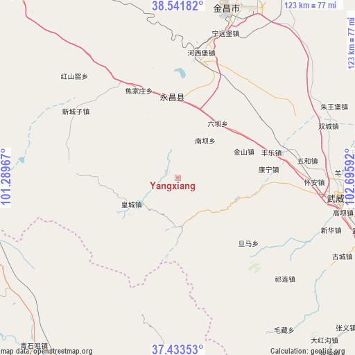
Yangxiang GPS coordinates[2]
37° 59' 23.172" North, 101° 59' 34.044" East
| Map corner | latitude | longitude |
|---|---|---|
| Upper-left | 38.54182°, | 101.28967° |
| Center: | 37.98977°, | 101.99279° |
| Lower-right: | 37.43353°, | 102.69592° |
| Map W x H: | 123.2×123.2 km | = 76.6×76.6mi |
| max Lat: | 53.31946° ⇑19.1% North |
| Yangxiang: | 37.98977° |
| min Lat: | ⇓80.9% South 18.22056° |
| min Long | Yangxiang | max Long |
| 75.07348° | 101.99279° | 134.28917° |
| W 7.1%⇐ | ⇒92.9% E |
Elevation
Elevation of Yangxiang is 2605 m = 8547 ft, and this is 2120.2 m = 6956 ft above average elevation for this country.
| Max E: |
5622 m = 18445 ft | 3.9% |
| Yangxiang | 2605 m 8547 ft | |
| Avg. | 484.8 m = 1591 ft | |
Min E: |
-3 m = -10 ft | 96.1% |
See also: China elevation on elevation.city.
Geographical zone
Yangxiang is located in North temperate zone (between Tropic of Cancer and the Arctic Circle). Distance of this Northern Tropic circle is 1618.1 km =1005.4 mi to South.| Distance of | km | miles | from Yangxiang |
|---|---|---|---|
| North Pole | 5783 | 3593.4 | to North |
| Arctic Circle | 3177.1 | 1974.2 | to North |
| Tropic Cancer | 1618.1 | 1005.4 | to South |
| Equator | 4224.1 | 2624.7 | to South |


Nearby cities:
15 places around Yangxiang: (largest is in red/bold)
• Beitan
17.7 km =11 mi,  238°
238°
• Damaying
81 km =50.3 mi,  301°
301°
• Dongchuan
70.5 km =43.8 mi,  191°
191°
• Dongdajie
56.7 km =35.2 mi,  97°
97°
• Dongtan
21.7 km =13.5 mi,  228°
228°
• Guangzhoulu
58.7 km =36.5 mi,  15°
15°
• Hongshanyao
48.7 km =30.3 mi,  315°
315°
• Huangcheng
81.4 km =50.6 mi, 238°
• Jinchang
59.5 km =37 mi, 17°
• Maying
24.5 km =15.2 mi,  267°
267°
• Qingshizui
76.2 km =47.3 mi,  220°
220°
• Sujitan
87 km =54.1 mi, 233°
• Wuwei
56.5 km =35.1 mi, 97°
• Xinchengzi
40.6 km =25.2 mi, 302°
• Yongchang Chengguanzhen
31.3 km =19.4 mi,  4°
4°
Sources, notices
• [Note1] Compared only with cities in China existing in our database
• [Src1] Map data: © OpenStreetMap contributors (CC-BY-SA)
• [Src2] Other city data from geonames.org with taken over terms of usage.
• [Src3] Geographical zone / Annual Mean Temperature by Robert A. Rohde @ Wikipedia
