Guangzhoulu geodata
Guangzhoulu (Gansu) is a seat of a third-order administrative division; located in China in Asia/Shanghai (GMT+8) time zone. In our database, there are 1268 cities with bigger population. Compared to other cities in China, 81.8% of cities are located further ↓South; 92.7% of cities are located further →East and 91.9% of cities have lower elevation than Guangzhoulu. Note1


Guangzhoulu GPS coordinates[2]
38° 29' 56.94" North, 102° 10' 5.124" East
| Map corner | latitude | longitude |
|---|---|---|
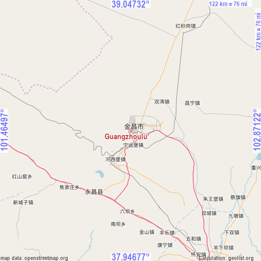
| Upper-left | 39.04732°, | 101.46497° |
| Center: | 38.49915°, | 102.16809° |
| Lower-right: | 37.94677°, | 102.87122° |
| Map W x H: | 122.4×122.4 km | = 76.1×76.1mi |
| max Lat: | 53.31946° ⇑18.2% North |
| Guangzhoulu: | 38.49915° |
| min Lat: | ⇓81.8% South 18.22056° |
| min Long | Guangzhoulu | max Long |
| 75.07348° | 102.16809° | 134.28917° |
| W 7.3%⇐ | ⇒92.7% E |
Elevation
Elevation of Guangzhoulu is 1562 m = 5125 ft, and this is 1077.2 m = 3534 ft above average elevation for this country.
| Max E: |
5622 m = 18445 ft | 8.1% |
| Guangzhoulu | 1562 m 5125 ft | |
| Avg. | 484.8 m = 1591 ft | |
Min E: |
-3 m = -10 ft | 91.9% |
See also: China elevation on elevation.city.
Geographical zone
Guangzhoulu is located in North temperate zone (between Tropic of Cancer and the Arctic Circle). Distance of this Northern Tropic circle is 1674.8 km =1040.7 mi to South.| Distance of | km | miles | from Guangzhoulu |
|---|---|---|---|
| North Pole | 5726.4 | 3558.2 | to North |
| Arctic Circle | 3120.5 | 1939 | to North |
| Tropic Cancer | 1674.8 | 1040.7 | to South |
| Equator | 4280.7 | 2659.9 | to South |


Nearby cities:
15 places around Guangzhoulu: (largest is in red/bold)
• Ailibugai
66.3 km =41.2 mi,  308°
308°
• Beitan
72.6 km =45.1 mi,  204°
204°
• Damaying
85.6 km =53.2 mi,  260°
260°
• Dongdajie
75.6 km =47 mi,  147°
147°
• Dongtan
77.6 km =48.2 mi, 204°
• Ehen Hudag
90.2 km =56 mi,  331°
331°
• Hongshanyao
54.2 km =33.7 mi,  245°
245°
• Huazhaizi
82.8 km =51.4 mi,  270°
270°
• Jinchang
2.2 km =1.4 mi,  85°
85°
• Maying
70.2 km =43.6 mi,  214°
214°
• Sanlei
81.2 km =50.5 mi,  79°
79°
• Wuwei
75.5 km =46.9 mi, 147°
• Xinchengzi
60.7 km =37.7 mi,  234°
234°
• Yangxiang
58.7 km =36.5 mi, 195°
• Yongchang Chengguanzhen
28.5 km =17.7 mi, 206°
Sources, notices
• [Note1] Compared only with cities in China existing in our database
• [Src1] Map data: © OpenStreetMap contributors (CC-BY-SA)
• [Src2] Other city data from geonames.org with taken over terms of usage.
• [Src3] Geographical zone / Annual Mean Temperature by Robert A. Rohde @ Wikipedia
