Haitou geodata
Haitou (Jiangsu) is a seat of a fourth-order administrative division; located in China in Asia/Shanghai (GMT+8) time zone. In our database, there are 1268 cities with bigger population. Compared to other cities in China, 74.8% of cities are located further ↓South; 76.9% of cities are located further ←West and 97.2% of cities have higher elevation than Haitou. Note1


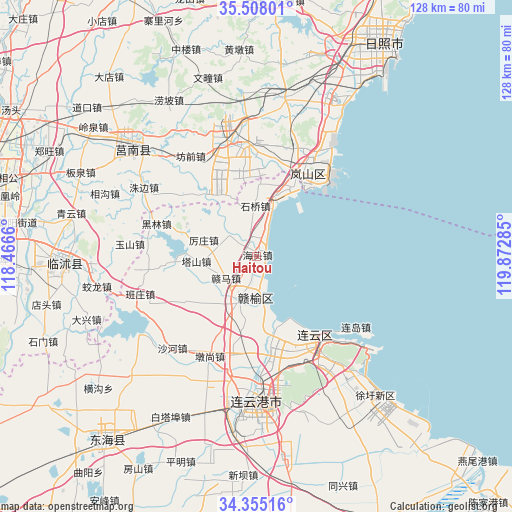
Haitou GPS coordinates[2]
34° 56' 0.996" North, 119° 10' 10.992" East
| Map corner | latitude | longitude |
|---|---|---|
| Upper-left | 35.50801°, | 118.4666° |
| Center: | 34.93361°, | 119.16972° |
| Lower-right: | 34.35516°, | 119.87285° |
| Map W x H: | 128.2×128.2 km | = 79.7×79.7mi |
| max Lat: | 53.31946° ⇑25.2% North |
| Haitou: | 34.93361° |
| min Lat: | ⇓74.8% South 18.22056° |
| min Long | Haitou | max Long |
| 75.07348° | 119.16972° | 134.28917° |
| W 76.9%⇐ | ⇒23.1% E |
Elevation
Elevation of Haitou is 5 m = 16 ft, and this is 479.8 m = 1574 ft below average elevation for this country.
| Max E: |
5622 m = 18445 ft | 97.2% |
| Avg. | 484.8 m = 1591 ft | |
| Haitou | 5 m = 16 ft | |
Min E: |
-3 m = -10 ft | 2.8% |
See also: China elevation on elevation.city.
Geographical zone
Haitou is located in North temperate zone (between Tropic of Cancer and the Arctic Circle). Distance of this Northern Tropic circle is 1278.3 km =794.3 mi to South.| Distance of | km | miles | from Haitou |
|---|---|---|---|
| North Pole | 6122.8 | 3804.5 | to North |
| Arctic Circle | 3516.9 | 2185.3 | to North |
| Tropic Cancer | 1278.3 | 794.3 | to South |
| Equator | 3884.3 | 2413.6 | to South |


Nearby cities:
15 places around Haitou: (largest is in red/bold)
• Andongwei
23.8 km =14.8 mi,  23°
23°
• Chaoyang
30.3 km =18.8 mi,  157°
157°
• Dunshang
27.7 km =17.2 mi,  205°
205°
• Gaogongdao
38.4 km =23.9 mi,  133°
133°
• Haizhou
39.3 km =24.4 mi,  185°
185°
• Huaguoshan
33 km =20.5 mi,  169°
169°
• Lianyun
33.5 km =20.8 mi, 132°
• Lianyungang
37.5 km =23.3 mi, 173°
• Luoyang
25.4 km =15.8 mi, 193°
• Qingkou
11 km =6.8 mi, 210°
• Shizilu
40.7 km =25.3 mi,  310°
310°
• Songzhuang
16.9 km =10.5 mi, 189°
• Xinpu
37.1 km =23.1 mi,  181°
181°
• Yunshan
31.6 km =19.6 mi,  145°
145°
• Zhongyun
38.3 km =23.8 mi, 145°
Sources, notices
• [Note1] Compared only with cities in China existing in our database
• [Src1] Map data: © OpenStreetMap contributors (CC-BY-SA)
• [Src2] Other city data from geonames.org with taken over terms of usage.
• [Src3] Geographical zone / Annual Mean Temperature by Robert A. Rohde @ Wikipedia
