Gunan geodata
Gunan (Chongqing) is a seat of a third-order administrative division; located in China in Asia/Shanghai (GMT+8) time zone. In our database, there are 1268 cities with bigger population. Compared to other cities in China, 65.2% of cities are located further ↑North; 84.7% of cities are located further →East and 63.1% of cities have lower elevation than Gunan. Note1


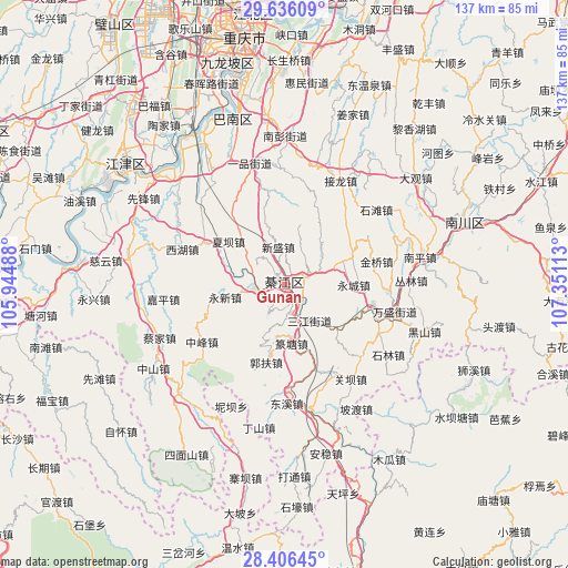
Gunan GPS coordinates[2]
29° 1' 23.16" North, 106° 38' 52.8" East
| Map corner | latitude | longitude |
|---|---|---|
| Upper-left | 29.63609°, | 105.94488° |
| Center: | 29.0231°, | 106.648° |
| Lower-right: | 28.40645°, | 107.35113° |
| Map W x H: | 136.7×136.7 km | = 84.9×84.9mi |
| max Lat: | 53.31946° ⇑65.2% North |
| Gunan: | 29.0231° |
| min Lat: | ⇓34.8% South 18.22056° |
| min Long | Gunan | max Long |
| 75.07348° | 106.648° | 134.28917° |
| W 15.3%⇐ | ⇒84.7% E |
Elevation
Elevation of Gunan is 297 m = 974 ft, and this is 187.8 m = 616 ft below average elevation for this country.
| Max E: |
5622 m = 18445 ft | 36.9% |
| Avg. | 484.8 m = 1591 ft | |
| Gunan | 297 m = 974 ft | |
Min E: |
-3 m = -10 ft | 63.1% |
See also: China elevation on elevation.city.
Geographical zone
Gunan is located in North temperate zone (between Tropic of Cancer and the Arctic Circle). Distance of this Northern Tropic circle is 621.1 km =385.9 mi to South.| Distance of | km | miles | from Gunan |
|---|---|---|---|
| North Pole | 6780 | 4212.9 | to North |
| Arctic Circle | 4174.1 | 2593.7 | to North |
| Tropic Cancer | 621.1 | 385.9 | to South |
| Equator | 3227.1 | 2005.2 | to South |


Nearby cities:
15 places around Gunan: (largest is in red/bold)
• Dushi
18 km =11.2 mi,  321°
321°
• Guofuchang
19.8 km =12.3 mi,  193°
193°
• Hengshan
10.3 km =6.4 mi,  13°
13°
• Jiasi
22.1 km =13.7 mi,  297°
297°
• Jielong
28.1 km =17.5 mi,  26°
26°
• Jinqiao
23.2 km =14.4 mi,  83°
83°
• Longsheng
17.6 km =10.9 mi,  68°
68°
• Nantong
23.9 km =14.9 mi,  116°
116°
• Puhechang
19.5 km =12.1 mi,  113°
113°
• Sanjiang
10.6 km =6.6 mi,  145°
145°
• Sanjiao
9.1 km =5.7 mi, 70°
• Shijiaochang
15.2 km =9.4 mi,  136°
136°
• Wansheng
28.1 km =17.5 mi,  103°
103°
• Xiaba
17 km =10.6 mi,  307°
307°
• Yongxin
12.8 km =8 mi,  240°
240°
Sources, notices
• [Note1] Compared only with cities in China existing in our database
• [Src1] Map data: © OpenStreetMap contributors (CC-BY-SA)
• [Src2] Other city data from geonames.org with taken over terms of usage.
• [Src3] Geographical zone / Annual Mean Temperature by Robert A. Rohde @ Wikipedia
