Guanlin geodata
Guanlin (Jiangsu) is a seat of a fourth-order administrative division; located in China in Asia/Shanghai (GMT+8) time zone. In our database, there are 1268 cities with bigger population. Compared to other cities in China, 58.4% of cities are located further ↓South; 80% of cities are located further ←West and 91.2% of cities have higher elevation than Guanlin. Note1


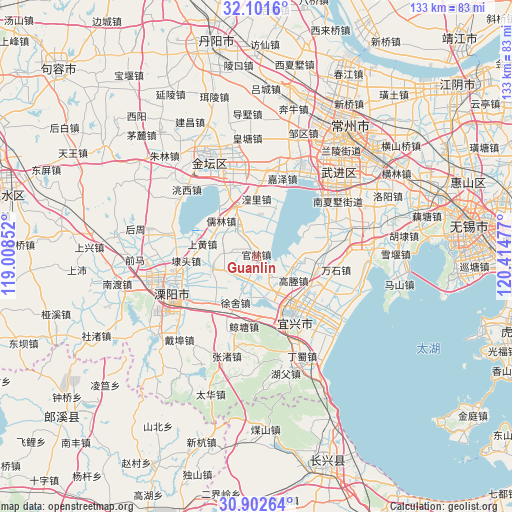
Guanlin GPS coordinates[2]
31° 30' 14.544" North, 119° 42' 41.904" East
| Map corner | latitude | longitude |
|---|---|---|
| Upper-left | 32.1016°, | 119.00852° |
| Center: | 31.50404°, | 119.71164° |
| Lower-right: | 30.90264°, | 120.41477° |
| Map W x H: | 133.3×133.3 km | = 82.8×82.8mi |
| max Lat: | 53.31946° ⇑41.6% North |
| Guanlin: | 31.50404° |
| min Lat: | ⇓58.4% South 18.22056° |
| min Long | Guanlin | max Long |
| 75.07348° | 119.71164° | 134.28917° |
| W 80%⇐ | ⇒20% E |
Elevation
Elevation of Guanlin is 9 m = 30 ft, and this is 475.8 m = 1561 ft below average elevation for this country.
| Max E: |
5622 m = 18445 ft | 91.2% |
| Avg. | 484.8 m = 1591 ft | |
| Guanlin | 9 m = 30 ft | |
Min E: |
-3 m = -10 ft | 8.8% |
See also: China elevation on elevation.city.
Geographical zone
Guanlin is located in North temperate zone (between Tropic of Cancer and the Arctic Circle). Distance of this Northern Tropic circle is 897 km =557.4 mi to South.| Distance of | km | miles | from Guanlin |
|---|---|---|---|
| North Pole | 6504.1 | 4041.5 | to North |
| Arctic Circle | 3898.3 | 2422.3 | to North |
| Tropic Cancer | 897 | 557.4 | to South |
| Equator | 3502.9 | 2176.6 | to South |


Nearby cities:
15 places around Guanlin: (largest is in red/bold)
• Daitou
18.4 km =11.4 mi,  267°
267°
• Gaocheng
10.4 km =6.5 mi,  120°
120°
• Heqiao
16.5 km =10.3 mi,  97°
97°
• Huangli
14.6 km =9.1 mi,  0°
0°
• Liangpeng
8.2 km =5.1 mi,  24°
24°
• Qiting
15.9 km =9.9 mi, 117°
• Rulin
12.9 km =8 mi,  316°
316°
• Shanghuang
14.6 km =9.1 mi,  288°
288°
• Wanshi
20.7 km =12.9 mi, 98°
• Xinjian
8.2 km =5.1 mi, 321°
• Xinjie
15.4 km =9.6 mi,  166°
166°
• Xushe
13.3 km =8.3 mi,  205°
205°
• Yangxiang
12.1 km =7.5 mi,  256°
256°
• Yicheng
19 km =11.8 mi,  147°
147°
• Yong’an
16.6 km =10.3 mi,  333°
333°
Sources, notices
• [Note1] Compared only with cities in China existing in our database
• [Src1] Map data: © OpenStreetMap contributors (CC-BY-SA)
• [Src2] Other city data from geonames.org with taken over terms of usage.
• [Src3] Geographical zone / Annual Mean Temperature by Robert A. Rohde @ Wikipedia
