Rulin geodata
Rulin (Jiangsu) is a seat of a fourth-order administrative division; located in China in Asia/Shanghai (GMT+8) time zone. In our database, there are 1268 cities with bigger population. Compared to other cities in China, 58.9% of cities are located further ↓South; 79.5% of cities are located further ←West and 92.7% of cities have higher elevation than Rulin. Note1


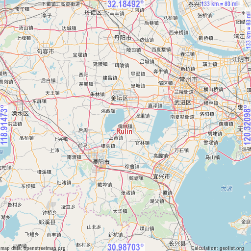
Rulin GPS coordinates[2]
31° 35' 16.44" North, 119° 37' 4.26" East
| Map corner | latitude | longitude |
|---|---|---|
| Upper-left | 32.18492°, | 118.91473° |
| Center: | 31.5879°, | 119.61785° |
| Lower-right: | 30.98703°, | 120.32098° |
| Map W x H: | 133.2×133.2 km | = 82.8×82.8mi |
| max Lat: | 53.31946° ⇑41.1% North |
| Rulin: | 31.5879° |
| min Lat: | ⇓58.9% South 18.22056° |
| min Long | Rulin | max Long |
| 75.07348° | 119.61785° | 134.28917° |
| W 79.5%⇐ | ⇒20.5% E |
Elevation
Elevation of Rulin is 8 m = 26 ft, and this is 476.8 m = 1564 ft below average elevation for this country.
| Max E: |
5622 m = 18445 ft | 92.7% |
| Avg. | 484.8 m = 1591 ft | |
| Rulin | 8 m = 26 ft | |
Min E: |
-3 m = -10 ft | 7.3% |
See also: China elevation on elevation.city.
Geographical zone
Rulin is located in North temperate zone (between Tropic of Cancer and the Arctic Circle). Distance of this Northern Tropic circle is 906.3 km =563.1 mi to South.| Distance of | km | miles | from Rulin |
|---|---|---|---|
| North Pole | 6494.8 | 4035.7 | to North |
| Arctic Circle | 3888.9 | 2416.4 | to North |
| Tropic Cancer | 906.3 | 563.1 | to South |
| Equator | 3512.2 | 2182.4 | to South |


Nearby cities:
15 places around Rulin: (largest is in red/bold)
• Bieqiao
15.3 km =9.5 mi,  257°
257°
• Daitou
14 km =8.7 mi,  222°
222°
• Guanlin
12.9 km =8 mi,  136°
136°
• Huangli
10.4 km =6.5 mi,  59°
59°
• Hutang
13.5 km =8.4 mi,  243°
243°
• Jiaze
19.3 km =12 mi, 55°
• Jincheng
17.9 km =11.1 mi,  346°
346°
• Liangpeng
12.4 km =7.7 mi,  98°
98°
• Shanghuang
6.9 km =4.3 mi,  226°
226°
• Xinjian
4.7 km =2.9 mi,  127°
127°
• Xushe
21.6 km =13.4 mi,  171°
171°
• Yangxiang
12.6 km =7.8 mi,  193°
193°
• Yaotang
15.5 km =9.6 mi,  20°
20°
• Yong’an
5.8 km =3.6 mi, 15°
• Zhiqian
12.6 km =7.8 mi,  285°
285°
Sources, notices
• [Note1] Compared only with cities in China existing in our database
• [Src1] Map data: © OpenStreetMap contributors (CC-BY-SA)
• [Src2] Other city data from geonames.org with taken over terms of usage.
• [Src3] Geographical zone / Annual Mean Temperature by Robert A. Rohde @ Wikipedia
