Gaozeng geodata
Gaozeng (Guizhou) is a populated place; located in China in Asia/Shanghai (GMT+8) time zone. With population of 1,650 people, there are 1069 cities with bigger population in this country. Compared to other cities in China, 83.2% of cities are located further ↑North; 76.6% of cities are located further →East and 59.5% of cities have lower elevation than Gaozeng. Note1


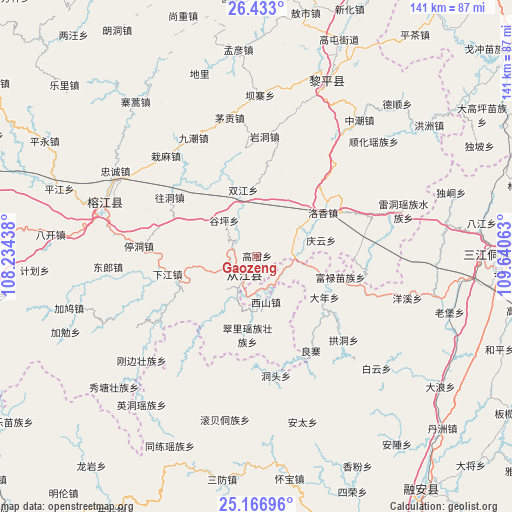
Gaozeng GPS coordinates[2]
25° 48' 6.012" North, 108° 56' 15" East
| Map corner | latitude | longitude |
|---|---|---|
| Upper-left | 26.433°, | 108.23438° |
| Center: | 25.80167°, | 108.9375° |
| Lower-right: | 25.16696°, | 109.64063° |
| Map W x H: | 140.8×140.8 km | = 87.5×87.5mi |
| max Lat: | 53.31946° ⇑83.2% North |
| Gaozeng: | 25.80167° |
| min Lat: | ⇓16.8% South 18.22056° |
| min Long | Gaozeng | max Long |
| 75.07348° | 108.9375° | 134.28917° |
| W 23.4%⇐ | ⇒76.6% E |
Elevation
Elevation of Gaozeng is 254 m = 833 ft, and this is 230.8 m = 757 ft below average elevation for this country.
| Max E: |
5622 m = 18445 ft | 40.5% |
| Avg. | 484.8 m = 1591 ft | |
| Gaozeng | 254 m = 833 ft | |
Min E: |
-3 m = -10 ft | 59.5% |
See also: China elevation on elevation.city.
Geographical zone
Gaozeng is located in North temperate zone (between Tropic of Cancer and the Arctic Circle). Distance of this Northern Tropic circle is 263 km =163.4 mi to South.| Distance of | km | miles | from Gaozeng |
|---|---|---|---|
| North Pole | 7138.2 | 4435.5 | to North |
| Arctic Circle | 4532.3 | 2816.2 | to North |
| Tropic Cancer | 263 | 163.4 | to South |
| Equator | 2868.9 | 1782.7 | to South |


Nearby cities:
15 places around Gaozeng: (largest is in red/bold)
• Darong
7.6 km =4.7 mi,  255°
255°
• Dingdan
67.3 km =41.8 mi,  275°
275°
• Dundong
31 km =19.3 mi,  41°
41°
• Gaowu
26.8 km =16.7 mi,  186°
186°
• Guyi
66.4 km =41.3 mi,  92°
92°
• Hongzhou
59.3 km =36.8 mi,  52°
52°
• Pingjiang
27.6 km =17.1 mi,  272°
272°
• Pingjiang
57.4 km =35.7 mi,  289°
289°
• Shuangjiang
18.4 km =11.4 mi,  355°
355°
• Tanxi
62.8 km =39 mi,  24°
24°
• Tingdong
32.6 km =20.3 mi, 274°
• Xiajiang
25.1 km =15.6 mi, 258°
• Xishan
13.2 km =8.2 mi,  168°
168°
• Yongcong
33 km =20.5 mi, 35°
• Zhongchao
46.8 km =29.1 mi, 37°
Sources, notices
• [Note1] Compared only with cities in China existing in our database
• [Src1] Map data: © OpenStreetMap contributors (CC-BY-SA)
• [Src2] Other city data from geonames.org with taken over terms of usage.
• [Src3] Geographical zone / Annual Mean Temperature by Robert A. Rohde @ Wikipedia
