Gangu Chengguanzhen geodata
Gangu Chengguanzhen (Gansu) is a seat of a third-order administrative division; located in China in Asia/Shanghai (GMT+8) time zone. In our database, there are 1268 cities with bigger population. Compared to other cities in China, 74% of cities are located further ↓South; 88.5% of cities are located further →East and 89.2% of cities have lower elevation than Gangu Chengguanzhen. Note1


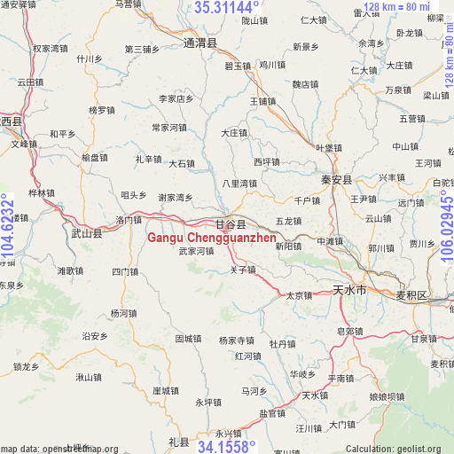
Gangu Chengguanzhen GPS coordinates[2]
34° 44' 8.304" North, 105° 19' 34.752" East
| Map corner | latitude | longitude |
|---|---|---|
| Upper-left | 35.31144°, | 104.6232° |
| Center: | 34.73564°, | 105.32632° |
| Lower-right: | 34.1558°, | 106.02945° |
| Map W x H: | 128.5×128.5 km | = 79.8×79.8mi |
| max Lat: | 53.31946° ⇑26% North |
| Gangu Chengguanzhen: | 34.73564° |
| min Lat: | ⇓74% South 18.22056° |
| min Long | Gangu Chengguan | max Long |
| 75.07348° | 105.32632° | 134.28917° |
| W 11.5%⇐ | ⇒88.5% E |
Elevation
Elevation of Gangu Chengguanzhen is 1287 m = 4222 ft, and this is 802.2 m = 2632 ft above average elevation for this country.
| Max E: |
5622 m = 18445 ft | 10.8% |
| Gangu Chengguanzhen | 1287 m 4222 ft | |
| Avg. | 484.8 m = 1591 ft | |
Min E: |
-3 m = -10 ft | 89.2% |
See also: China elevation on elevation.city.
Geographical zone
Gangu Chengguanzhen is located in North temperate zone (between Tropic of Cancer and the Arctic Circle). Distance of this Northern Tropic circle is 1256.3 km =780.6 mi to South.| Distance of | km | miles | from Gangu Chengguanzhen |
|---|---|---|---|
| North Pole | 6144.8 | 3818.2 | to North |
| Arctic Circle | 3538.9 | 2199 | to North |
| Tropic Cancer | 1256.3 | 780.6 | to South |
| Equator | 3862.2 | 2399.9 | to South |


Nearby cities:
15 places around Gangu Chengguanzhen: (largest is in red/bold)
• Beidao
55.1 km =34.2 mi,  109°
109°
• Haodi
49.3 km =30.6 mi,  53°
53°
• Jichuan
47.9 km =29.8 mi,  15°
15°
• Liuping
39.8 km =24.7 mi,  64°
64°
• Mawu
51 km =31.7 mi,  227°
227°
• Pingxiang
53 km =32.9 mi,  352°
352°
• Qincheng
40.5 km =25.2 mi,  115°
115°
• Taijing
28 km =17.4 mi,  133°
133°
• Tange Zhen
46 km =28.6 mi,  254°
254°
• Tianshui
41.8 km =26 mi, 114°
• Wangpu
37.1 km =23.1 mi, 15°
• Wangyin
41.2 km =25.6 mi,  74°
74°
• Wulong
17.9 km =11.1 mi,  84°
84°
• Xingguo
34.1 km =21.2 mi, 66°
• Yuanyang Zhen
50.7 km =31.5 mi,  276°
276°
Sources, notices
• [Note1] Compared only with cities in China existing in our database
• [Src1] Map data: © OpenStreetMap contributors (CC-BY-SA)
• [Src2] Other city data from geonames.org with taken over terms of usage.
• [Src3] Geographical zone / Annual Mean Temperature by Robert A. Rohde @ Wikipedia
