Jichuan geodata
Jichuan (Gansu) is a seat of a fourth-order administrative division; located in China in Asia/Shanghai (GMT+8) time zone. In our database, there are 1268 cities with bigger population. Compared to other cities in China, 75.3% of cities are located further ↓South; 88.3% of cities are located further →East and 92.6% of cities have lower elevation than Jichuan. Note1


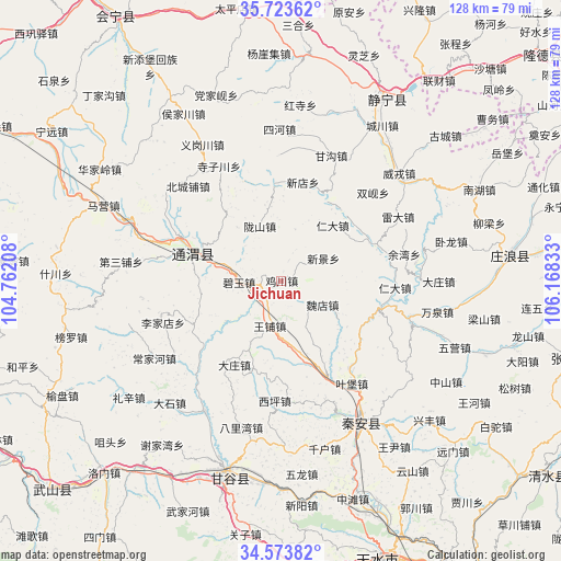
Jichuan GPS coordinates[2]
35° 9' 2.7" North, 105° 27' 54.72" East
| Map corner | latitude | longitude |
|---|---|---|
| Upper-left | 35.72362°, | 104.76208° |
| Center: | 35.15075°, | 105.4652° |
| Lower-right: | 34.57382°, | 106.16833° |
| Map W x H: | 127.8×127.8 km | = 79.4×79.4mi |
| max Lat: | 53.31946° ⇑24.7% North |
| Jichuan: | 35.15075° |
| min Lat: | ⇓75.3% South 18.22056° |
| min Long | Jichuan | max Long |
| 75.07348° | 105.4652° | 134.28917° |
| W 11.7%⇐ | ⇒88.3% E |
Elevation
Elevation of Jichuan is 1658 m = 5440 ft, and this is 1173.2 m = 3849 ft above average elevation for this country.
| Max E: |
5622 m = 18445 ft | 7.4% |
| Jichuan | 1658 m 5440 ft | |
| Avg. | 484.8 m = 1591 ft | |
Min E: |
-3 m = -10 ft | 92.6% |
See also: China elevation on elevation.city.
Geographical zone
Jichuan is located in North temperate zone (between Tropic of Cancer and the Arctic Circle). Distance of this Northern Tropic circle is 1302.5 km =809.3 mi to South.| Distance of | km | miles | from Jichuan |
|---|---|---|---|
| North Pole | 6098.7 | 3789.6 | to North |
| Arctic Circle | 3492.8 | 2170.3 | to North |
| Tropic Cancer | 1302.5 | 809.3 | to South |
| Equator | 3908.4 | 2428.6 | to South |


Nearby cities:
15 places around Jichuan: (largest is in red/bold)
• Dangjiaxian
44.7 km =27.8 mi,  340°
340°
• Haodi
31.5 km =19.6 mi,  121°
121°
• Houjiachuan
44.1 km =27.4 mi,  329°
329°
• Lianhua
31.3 km =19.4 mi,  108°
108°
• Lidian
21.9 km =13.6 mi,  67°
67°
• Liuping
37 km =23 mi,  141°
141°
• Maying
43.9 km =27.3 mi,  293°
293°
• Pingxiang
20.5 km =12.7 mi, 288°
• Wangpu
10.7 km =6.6 mi,  194°
194°
• Wangyin
44.4 km =27.6 mi, 142°
• Weirong
36.1 km =22.4 mi,  48°
48°
• Wulong
44.7 km =27.8 mi,  173°
173°
• Xindian
22.9 km =14.2 mi,  12°
12°
• Xingguo
37.4 km =23.2 mi,  150°
150°
• Zhudian
43.9 km =27.3 mi,  95°
95°
Sources, notices
• [Note1] Compared only with cities in China existing in our database
• [Src1] Map data: © OpenStreetMap contributors (CC-BY-SA)
• [Src2] Other city data from geonames.org with taken over terms of usage.
• [Src3] Geographical zone / Annual Mean Temperature by Robert A. Rohde @ Wikipedia
