Wangpu geodata
Wangpu (Gansu) is a seat of a fourth-order administrative division; located in China in Asia/Shanghai (GMT+8) time zone. In our database, there are 1268 cities with bigger population. Compared to other cities in China, 75.2% of cities are located further ↓South; 88.4% of cities are located further →East and 94.4% of cities have lower elevation than Wangpu. Note1


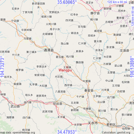
Wangpu GPS coordinates[2]
35° 3' 25.632" North, 105° 26' 9.06" East
| Map corner | latitude | longitude |
|---|---|---|
| Upper-left | 35.63065°, | 104.73273° |
| Center: | 35.05712°, | 105.43585° |
| Lower-right: | 34.47953°, | 106.13898° |
| Map W x H: | 128×128 km | = 79.5×79.5mi |
| max Lat: | 53.31946° ⇑24.8% North |
| Wangpu: | 35.05712° |
| min Lat: | ⇓75.2% South 18.22056° |
| min Long | Wangpu | max Long |
| 75.07348° | 105.43585° | 134.28917° |
| W 11.6%⇐ | ⇒88.4% E |
Elevation
Elevation of Wangpu is 1916 m = 6286 ft, and this is 1431.2 m = 4696 ft above average elevation for this country.
| Max E: |
5622 m = 18445 ft | 5.6% |
| Wangpu | 1916 m 6286 ft | |
| Avg. | 484.8 m = 1591 ft | |
Min E: |
-3 m = -10 ft | 94.4% |
See also: China elevation on elevation.city.
Geographical zone
Wangpu is located in North temperate zone (between Tropic of Cancer and the Arctic Circle). Distance of this Northern Tropic circle is 1292.1 km =802.9 mi to South.| Distance of | km | miles | from Wangpu |
|---|---|---|---|
| North Pole | 6109.1 | 3796 | to North |
| Arctic Circle | 3503.2 | 2176.8 | to North |
| Tropic Cancer | 1292.1 | 802.9 | to South |
| Equator | 3898 | 2422.1 | to South |


Nearby cities:
15 places around Wangpu: (largest is in red/bold)
• Gangu Chengguanzhen
37.1 km =23.1 mi,  195°
195°
• Haodi
30.1 km =18.7 mi,  101°
101°
• Jichuan
10.7 km =6.6 mi,  14°
14°
• Liangshan
49 km =30.4 mi,  87°
87°
• Lianhua
32.3 km =20.1 mi, 89°
• Lidian
29.7 km =18.5 mi,  50°
50°
• Liuping
31.7 km =19.7 mi,  125°
125°
• Maying
46.7 km =29 mi,  306°
306°
• Pingxiang
23.8 km =14.8 mi, 314°
• Wangyin
38.7 km =24 mi, 129°
• Weirong
45.4 km =28.2 mi,  40°
40°
• Wulong
34.9 km =21.7 mi,  167°
167°
• Xindian
33.7 km =20.9 mi, 12°
• Xingguo
30.6 km =19 mi,  136°
136°
• Zhudian
46.9 km =29.1 mi,  82°
82°
Sources, notices
• [Note1] Compared only with cities in China existing in our database
• [Src1] Map data: © OpenStreetMap contributors (CC-BY-SA)
• [Src2] Other city data from geonames.org with taken over terms of usage.
• [Src3] Geographical zone / Annual Mean Temperature by Robert A. Rohde @ Wikipedia
