Gangkou geodata
Gangkou (Jiangxi) is a seat of a fourth-order administrative division; located in China in Asia/Shanghai (GMT+8) time zone. In our database, there are 1268 cities with bigger population. Compared to other cities in China, 62.6% of cities are located further ↑North; 50.5% of cities are located further ←West and 58.7% of cities have lower elevation than Gangkou. Note1


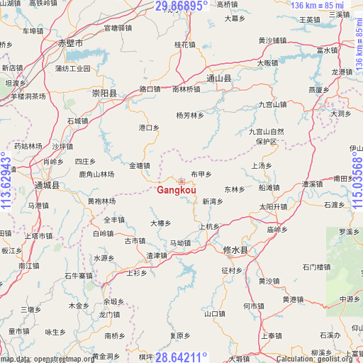
Gangkou GPS coordinates[2]
29° 15' 26.532" North, 114° 19' 57.18" East
| Map corner | latitude | longitude |
|---|---|---|
| Upper-left | 29.86895°, | 113.62943° |
| Center: | 29.25737°, | 114.33255° |
| Lower-right: | 28.64211°, | 115.03568° |
| Map W x H: | 136.4×136.4 km | = 84.8×84.8mi |
| max Lat: | 53.31946° ⇑62.6% North |
| Gangkou: | 29.25737° |
| min Lat: | ⇓37.4% South 18.22056° |
| min Long | Gangkou | max Long |
| 75.07348° | 114.33255° | 134.28917° |
| W 50.5%⇐ | ⇒49.5% E |
Elevation
Elevation of Gangkou is 244 m = 801 ft, and this is 240.8 m = 790 ft below average elevation for this country.
| Max E: |
5622 m = 18445 ft | 41.3% |
| Avg. | 484.8 m = 1591 ft | |
| Gangkou | 244 m = 801 ft | |
Min E: |
-3 m = -10 ft | 58.7% |
See also: China elevation on elevation.city.
Geographical zone
Gangkou is located in North temperate zone (between Tropic of Cancer and the Arctic Circle). Distance of this Northern Tropic circle is 647.2 km =402.2 mi to South.| Distance of | km | miles | from Gangkou |
|---|---|---|---|
| North Pole | 6753.9 | 4196.7 | to North |
| Arctic Circle | 4148.1 | 2577.5 | to North |
| Tropic Cancer | 647.2 | 402.2 | to South |
| Equator | 3253.1 | 2021.4 | to South |


Nearby cities:
15 places around Gangkou: (largest is in red/bold)
• Bujia
8.1 km =5 mi,  67°
67°
• Dachun
17.4 km =10.8 mi,  207°
207°
• Donglin
20.1 km =12.5 mi,  97°
97°
• Gangkou
23.9 km =14.9 mi,  328°
328°
• Gaojian
25.8 km =16 mi,  275°
275°
• Gushi
28.2 km =17.5 mi,  219°
219°
• Hangkou
25.6 km =15.9 mi,  155°
155°
• Jintang
17 km =10.6 mi,  291°
291°
• Ma’ao
22.5 km =14 mi,  181°
181°
• Shanghang
19.6 km =12.2 mi,  148°
148°
• Sidu
27.6 km =17.1 mi,  115°
115°
• Xigang
19.6 km =12.2 mi, 159°
• Xikou
11.3 km =7 mi, 158°
• Xinwan
13.7 km =8.5 mi, 121°
• Yangfanglin
25.4 km =15.8 mi,  6°
6°
Sources, notices
• [Note1] Compared only with cities in China existing in our database
• [Src1] Map data: © OpenStreetMap contributors (CC-BY-SA)
• [Src2] Other city data from geonames.org with taken over terms of usage.
• [Src3] Geographical zone / Annual Mean Temperature by Robert A. Rohde @ Wikipedia
