Yiwu geodata
Yiwu (Zhejiang) is a seat of a third-order administrative division; located in China in Asia/Shanghai (GMT+8) time zone. With population of 89,629 people, there are 475 cities with bigger population in this country. Compared to other cities in China, 61.8% of cities are located further ↑North; 82.4% of cities are located further ←West and 62.6% of cities have higher elevation than Yiwu. Note1


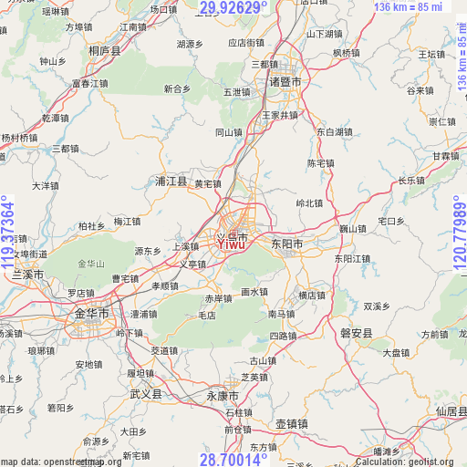
Yiwu GPS coordinates[2]
29° 18' 54.216" North, 120° 4' 36.336" East
| Map corner | latitude | longitude |
|---|---|---|
| Upper-left | 29.92629°, | 119.37364° |
| Center: | 29.31506°, | 120.07676° |
| Lower-right: | 28.70014°, | 120.77989° |
| Map W x H: | 136.3×136.3 km | = 84.7×84.7mi |
| max Lat: | 53.31946° ⇑61.8% North |
| Yiwu: | 29.31506° |
| min Lat: | ⇓38.2% South 18.22056° |
| min Long | Yiwu | max Long |
| 75.07348° | 120.07676° | 134.28917° |
| W 82.4%⇐ | ⇒17.6% E |
Elevation
Elevation of Yiwu is 84 m = 276 ft, and this is 400.8 m = 1315 ft below average elevation for this country.
| Max E: |
5622 m = 18445 ft | 62.6% |
| Avg. | 484.8 m = 1591 ft | |
| Yiwu | 84 m = 276 ft | |
Min E: |
-3 m = -10 ft | 37.4% |
See also: Yiwu elevation on elevation.city.
Geographical zone
Yiwu is located in North temperate zone (between Tropic of Cancer and the Arctic Circle). Distance of this Northern Tropic circle is 653.6 km =406.1 mi to South.| Distance of | km | miles | from Yiwu |
|---|---|---|---|
| North Pole | 6747.5 | 4192.7 | to North |
| Arctic Circle | 4141.6 | 2573.5 | to North |
| Tropic Cancer | 653.6 | 406.1 | to South |
| Equator | 3259.5 | 2025.4 | to South |


Nearby cities:
15 places around Yiwu: (largest is in red/bold)
• Chi’an
19.4 km =12.1 mi,  193°
193°
• Choujiang
5.9 km =3.7 mi,  233°
233°
• Dachen
15.9 km =9.9 mi,  17°
17°
• Dongyang
15.3 km =9.5 mi,  110°
110°
• Fucun
19.6 km =12.2 mi,  244°
244°
• Huangtianfan
17.4 km =10.8 mi,  160°
160°
• Huangzhai
16.8 km =10.4 mi,  332°
332°
• Huaxi
15.6 km =9.7 mi,  149°
149°
• Jiangbei
15.2 km =9.4 mi,  96°
96°
• Lingbeizhou
23.8 km =14.8 mi,  67°
67°
• Nanshi
23.7 km =14.7 mi,  141°
141°
• Shangxi
14.4 km =8.9 mi,  256°
256°
• Wuning
16.2 km =10.1 mi, 112°
• Yantou
22.8 km =14.2 mi, 328°
• Yiting
14.3 km =8.9 mi, 231°
Sources, notices
• [Note1] Compared only with cities in China existing in our database
• [Src1] Map data: © OpenStreetMap contributors (CC-BY-SA)
• [Src2] Other city data from geonames.org with taken over terms of usage.
• [Src3] Geographical zone / Annual Mean Temperature by Robert A. Rohde @ Wikipedia
