Chenzhuang geodata
Chenzhuang (Shaanxi) is a seat of a fourth-order administrative division; located in China in Asia/Shanghai (GMT+8) time zone. In our database, there are 1268 cities with bigger population. Compared to other cities in China, 74.6% of cities are located further ↓South; 73.3% of cities are located further →East and 68.6% of cities have lower elevation than Chenzhuang. Note1


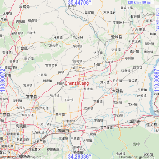
Chenzhuang GPS coordinates[2]
34° 52' 20.064" North, 109° 36' 13.824" East
| Map corner | latitude | longitude |
|---|---|---|
| Upper-left | 35.44708°, | 108.90072° |
| Center: | 34.87224°, | 109.60384° |
| Lower-right: | 34.29336°, | 110.30697° |
| Map W x H: | 128.3×128.3 km | = 79.7×79.7mi |
| max Lat: | 53.31946° ⇑25.4% North |
| Chenzhuang: | 34.87224° |
| min Lat: | ⇓74.6% South 18.22056° |
| min Long | Chenzhuang | max Long |
| 75.07348° | 109.60384° | 134.28917° |
| W 26.7%⇐ | ⇒73.3% E |
Elevation
Elevation of Chenzhuang is 387 m = 1270 ft, and this is 97.8 m = 321 ft below average elevation for this country.
| Max E: |
5622 m = 18445 ft | 31.4% |
| Avg. | 484.8 m = 1591 ft | |
| Chenzhuang | 387 m = 1270 ft | |
Min E: |
-3 m = -10 ft | 68.6% |
See also: China elevation on elevation.city.
Geographical zone
Chenzhuang is located in North temperate zone (between Tropic of Cancer and the Arctic Circle). Distance of this Northern Tropic circle is 1271.5 km =790.1 mi to South.| Distance of | km | miles | from Chenzhuang |
|---|---|---|---|
| North Pole | 6129.6 | 3808.8 | to North |
| Arctic Circle | 3523.7 | 2189.5 | to North |
| Tropic Cancer | 1271.5 | 790.1 | to South |
| Equator | 3877.4 | 2409.3 | to South |


Nearby cities:
15 places around Chenzhuang: (largest is in red/bold)
• Chunlin
11.8 km =7.3 mi,  34°
34°
• Dangmu
6.6 km =4.1 mi,  166°
166°
• Dongyang
6.6 km =4.1 mi,  21°
21°
• Jiaqu
7.6 km =4.7 mi,  311°
311°
• Jingyao
14.9 km =9.3 mi,  258°
258°
• Lindian
16.7 km =10.4 mi,  180°
180°
• Longchi
9.9 km =6.2 mi,  137°
137°
• Longyang
8.2 km =5.1 mi,  111°
111°
• Pinglumiao
12.6 km =7.8 mi,  70°
70°
• Potou
18.1 km =11.2 mi, 307°
• Pucheng Chengguanzhen
9.5 km =5.9 mi,  349°
349°
• Sanhe
13.6 km =8.5 mi,  323°
323°
• Xiangcunxiang
15.1 km =9.4 mi, 353°
• Xingzhen
15.6 km =9.7 mi,  295°
295°
• Yuanren
16 km =9.9 mi,  238°
238°
Sources, notices
• [Note1] Compared only with cities in China existing in our database
• [Src1] Map data: © OpenStreetMap contributors (CC-BY-SA)
• [Src2] Other city data from geonames.org with taken over terms of usage.
• [Src3] Geographical zone / Annual Mean Temperature by Robert A. Rohde @ Wikipedia
