Baishi geodata
Baishi (Guangdong) is a seat of a fourth-order administrative division; located in China in Asia/Shanghai (GMT+8) time zone. In our database, there are 1268 cities with bigger population. Compared to other cities in China, 95.2% of cities are located further ↑North; 63.5% of cities are located further →East and 73% of cities have higher elevation than Baishi. Note1


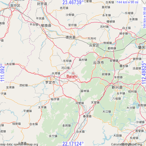
Baishi GPS coordinates[2]
22° 49' 15.096" North, 111° 47' 42.432" East
| Map corner | latitude | longitude |
|---|---|---|
| Upper-left | 23.46739°, | 111.092° |
| Center: | 22.82086°, | 111.79512° |
| Lower-right: | 22.17124°, | 112.49825° |
| Map W x H: | 144.1×144.1 km | = 89.5×89.5mi |
| max Lat: | 53.31946° ⇑95.2% North |
| Baishi: | 22.82086° |
| min Lat: | ⇓4.8% South 18.22056° |
| min Long | Baishi | max Long |
| 75.07348° | 111.79512° | 134.28917° |
| W 36.5%⇐ | ⇒63.5% E |
Elevation
Elevation of Baishi is 42 m = 138 ft, and this is 442.8 m = 1453 ft below average elevation for this country.
| Max E: |
5622 m = 18445 ft | 73% |
| Avg. | 484.8 m = 1591 ft | |
| Baishi | 42 m = 138 ft | |
Min E: |
-3 m = -10 ft | 27% |
See also: China elevation on elevation.city.
Geographical zone
Baishi is located in North Torrid zone (between Equator and Tropic of Cancer). Distance of this Northern Tropic circle is 68.5 km =42.6 mi to North.| Distance of | km | miles | from Baishi |
|---|---|---|---|
| North Pole | 7469.6 | 4641.4 | to North |
| Arctic Circle | 4863.7 | 3022.2 | to North |
| Tropic Cancer | 68.5 | 42.6 | to North |
| Equator | 2537.4 | 1576.7 | to South |


Nearby cities:
15 places around Baishi: (largest is in red/bold)
• Chengdong
21 km =13 mi,  250°
250°
• Dawan
16.9 km =10.5 mi,  270°
270°
• Dongba
14 km =8.7 mi,  341°
341°
• Fulin
20.5 km =12.7 mi,  149°
149°
• Gaocun
16.7 km =10.4 mi,  34°
34°
• Hekou
9.6 km =6 mi,  305°
305°
• Huashi
12.8 km =8 mi,  241°
241°
• Jinji
12.2 km =7.6 mi,  167°
167°
• Liantan
14.7 km =9.1 mi,  330°
330°
• Lidong
21.9 km =13.6 mi,  321°
321°
• Pingtang
8.3 km =5.2 mi,  210°
210°
• Shuangdong
20.6 km =12.8 mi,  261°
261°
• Songgui
9.7 km =6 mi, 340°
• Sulong
22.3 km =13.9 mi, 238°
• Weidi
17.8 km =11.1 mi,  227°
227°
Sources, notices
• [Note1] Compared only with cities in China existing in our database
• [Src1] Map data: © OpenStreetMap contributors (CC-BY-SA)
• [Src2] Other city data from geonames.org with taken over terms of usage.
• [Src3] Geographical zone / Annual Mean Temperature by Robert A. Rohde @ Wikipedia
