Xiachen geodata
Xiachen (Zhejiang) is a seat of a fourth-order administrative division; located in China in Asia/Shanghai (GMT+8) time zone. In our database, there are 1268 cities with bigger population. Compared to other cities in China, 69% of cities are located further ↑North; 89.8% of cities are located further ←West and 92.7% of cities have higher elevation than Xiachen. Note1


Xiachen GPS coordinates[2]
28° 35' 21.516" North, 121° 26' 59.424" East
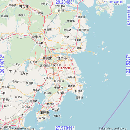
| Map corner | latitude | longitude |
|---|---|---|
| Upper-left | 29.20488°, | 120.74672° |
| Center: | 28.58931°, | 121.44984° |
| Lower-right: | 27.97011°, | 122.15297° |
| Map W x H: | 137.3×137.3 km | = 85.3×85.3mi |
| max Lat: | 53.31946° ⇑69% North |
| Xiachen: | 28.58931° |
| min Lat: | ⇓31% South 18.22056° |
| min Long | Xiachen | max Long |
| 75.07348° | 121.44984° | 134.28917° |
| W 89.8%⇐ | ⇒10.2% E |
Elevation
Elevation of Xiachen is 8 m = 26 ft, and this is 476.8 m = 1564 ft below average elevation for this country.
| Max E: |
5622 m = 18445 ft | 92.7% |
| Avg. | 484.8 m = 1591 ft | |
| Xiachen | 8 m = 26 ft | |
Min E: |
-3 m = -10 ft | 7.3% |
See also: China elevation on elevation.city.
Geographical zone
Xiachen is located in North temperate zone (between Tropic of Cancer and the Arctic Circle). Distance of this Northern Tropic circle is 572.9 km =356 mi to South.| Distance of | km | miles | from Xiachen |
|---|---|---|---|
| North Pole | 6828.2 | 4242.8 | to North |
| Arctic Circle | 4222.3 | 2623.6 | to North |
| Tropic Cancer | 572.9 | 356 | to South |
| Equator | 3178.8 | 1975.2 | to South |


Nearby cities:
15 places around Xiachen: (largest is in red/bold)
• Baiyun
10.8 km =6.7 mi,  336°
336°
• Fengjiang
9.2 km =5.7 mi,  233°
233°
• Haimen
10.5 km =6.5 mi,  346°
346°
• Hengjie
6.4 km =4 mi,  191°
191°
• Hongjia
4.5 km =2.8 mi,  307°
307°
• Jiazhi
11.7 km =7.3 mi,  323°
323°
• Lubei
7.8 km =4.8 mi,  267°
267°
• Luqiao
7.4 km =4.6 mi,  262°
262°
• Pengjie
4.8 km =3 mi,  141°
141°
• Qiansuo
12.2 km =7.6 mi,  358°
358°
• Sanjia
3.6 km =2.2 mi,  40°
40°
• Taizhou
8.3 km =5.2 mi, 348°
• Tongyu
11.6 km =7.2 mi, 271°
• Xinhe
12 km =7.5 mi,  179°
179°
• Xinqiao
8.5 km =5.3 mi,  205°
205°
Sources, notices
• [Note1] Compared only with cities in China existing in our database
• [Src1] Map data: © OpenStreetMap contributors (CC-BY-SA)
• [Src2] Other city data from geonames.org with taken over terms of usage.
• [Src3] Geographical zone / Annual Mean Temperature by Robert A. Rohde @ Wikipedia
