Songxia geodata
Songxia (Fujian) is a seat of a fourth-order administrative division; located in China in Asia/Shanghai (GMT+8) time zone. In our database, there are 1268 cities with bigger population. Compared to other cities in China, 83.3% of cities are located further ↑North; 79.4% of cities are located further ←West and 84.9% of cities have higher elevation than Songxia. Note1


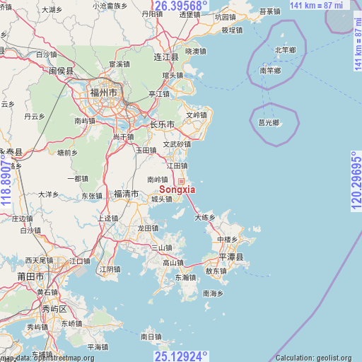
Songxia GPS coordinates[2]
25° 45' 50.94" North, 119° 35' 37.752" East
| Map corner | latitude | longitude |
|---|---|---|
| Upper-left | 26.39568°, | 118.8907° |
| Center: | 25.76415°, | 119.59382° |
| Lower-right: | 25.12924°, | 120.29695° |
| Map W x H: | 140.8×140.8 km | = 87.5×87.5mi |
| max Lat: | 53.31946° ⇑83.3% North |
| Songxia: | 25.76415° |
| min Lat: | ⇓16.7% South 18.22056° |
| min Long | Songxia | max Long |
| 75.07348° | 119.59382° | 134.28917° |
| W 79.4%⇐ | ⇒20.6% E |
Elevation
Elevation of Songxia is 16 m = 52 ft, and this is 468.8 m = 1538 ft below average elevation for this country.
| Max E: |
5622 m = 18445 ft | 84.9% |
| Avg. | 484.8 m = 1591 ft | |
| Songxia | 16 m = 52 ft | |
Min E: |
-3 m = -10 ft | 15.1% |
See also: China elevation on elevation.city.
Geographical zone
Songxia is located in North temperate zone (between Tropic of Cancer and the Arctic Circle). Distance of this Northern Tropic circle is 258.8 km =160.8 mi to South.| Distance of | km | miles | from Songxia |
|---|---|---|---|
| North Pole | 7142.4 | 4438.1 | to North |
| Arctic Circle | 4536.5 | 2818.8 | to North |
| Tropic Cancer | 258.8 | 160.8 | to South |
| Equator | 2864.7 | 1780 | to South |


Nearby cities:
15 places around Songxia: (largest is in red/bold)
• Baiqing
21.5 km =13.4 mi,  125°
125°
• Chengtou
10.6 km =6.6 mi,  228°
228°
• Dalian
16.6 km =10.3 mi,  146°
146°
• Guhuai
14.4 km =8.9 mi,  337°
337°
• Haikou
15.6 km =9.7 mi,  239°
239°
• Heshang
21.2 km =13.2 mi,  347°
347°
• Jiangtian
6.4 km =4 mi, 343°
• Luolian
16.2 km =10.1 mi,  309°
309°
• Nanling
9.8 km =6.1 mi,  274°
274°
• Su’ao
20 km =12.4 mi, 145°
• Wenwusha
15.1 km =9.4 mi, 352°
• Yangxia
21.5 km =13.4 mi,  263°
263°
• Yutian
18.8 km =11.7 mi, 310°
• Yutou
12.7 km =7.9 mi,  182°
182°
• Zhanggang
18.2 km =11.3 mi,  10°
10°
Sources, notices
• [Note1] Compared only with cities in China existing in our database
• [Src1] Map data: © OpenStreetMap contributors (CC-BY-SA)
• [Src2] Other city data from geonames.org with taken over terms of usage.
• [Src3] Geographical zone / Annual Mean Temperature by Robert A. Rohde @ Wikipedia
