Longjing geodata
Longjing (Guangdong) is a seat of a fourth-order administrative division; located in China in Asia/Shanghai (GMT+8) time zone. In our database, there are 1268 cities with bigger population. Compared to other cities in China, 90.8% of cities are located further ↑North; 58.5% of cities are located further →East and 63.7% of cities have higher elevation than Longjing. Note1


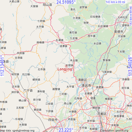
Longjing GPS coordinates[2]
23° 52' 10.452" North, 112° 50' 13.668" East
| Map corner | latitude | longitude |
|---|---|---|
| Upper-left | 24.51095°, | 112.13401° |
| Center: | 23.86957°, | 112.83713° |
| Lower-right: | 23.225°, | 113.54026° |
| Map W x H: | 143×143 km | = 88.9×88.9mi |
| max Lat: | 53.31946° ⇑90.8% North |
| Longjing: | 23.86957° |
| min Lat: | ⇓9.2% South 18.22056° |
| min Long | Longjing | max Long |
| 75.07348° | 112.83713° | 134.28917° |
| W 41.5%⇐ | ⇒58.5% E |
Elevation
Elevation of Longjing is 79 m = 259 ft, and this is 405.8 m = 1331 ft below average elevation for this country.
| Max E: |
5622 m = 18445 ft | 63.7% |
| Avg. | 484.8 m = 1591 ft | |
| Longjing | 79 m = 259 ft | |
Min E: |
-3 m = -10 ft | 36.3% |
See also: China elevation on elevation.city.
Geographical zone
Longjing is located in North temperate zone (between Tropic of Cancer and the Arctic Circle). Distance of this Northern Tropic circle is 48.1 km =29.9 mi to South.| Distance of | km | miles | from Longjing |
|---|---|---|---|
| North Pole | 7353 | 4568.9 | to North |
| Arctic Circle | 4747.1 | 2949.7 | to North |
| Tropic Cancer | 48.1 | 29.9 | to South |
| Equator | 2654 | 1649.1 | to South |


Nearby cities:
15 places around Longjing: (largest is in red/bold)
• Beishi
27.2 km =16.9 mi,  262°
262°
• Dadong
29.6 km =18.4 mi,  53°
53°
• Dongcheng
27.2 km =16.9 mi,  124°
124°
• Fengcheng
24.7 km =15.3 mi,  127°
127°
• Heyun
10.7 km =6.6 mi, 50°
• Jiangtun
27.8 km =17.3 mi,  233°
233°
• Jintan
21.3 km =13.2 mi,  352°
352°
• Lianhe
24.2 km =15 mi, 230°
• Qingyuan
27.5 km =17.1 mi, 133°
• Shahe
14.5 km =9 mi,  17°
17°
• Shantang
28.5 km =17.7 mi,  154°
154°
• Shitan
29.8 km =18.5 mi, 345°
• Taihe
20.7 km =12.9 mi,  136°
136°
• Taiping
22.9 km =14.2 mi,  166°
166°
• Weizheng
26.6 km =16.5 mi,  203°
203°
Sources, notices
• [Note1] Compared only with cities in China existing in our database
• [Src1] Map data: © OpenStreetMap contributors (CC-BY-SA)
• [Src2] Other city data from geonames.org with taken over terms of usage.
• [Src3] Geographical zone / Annual Mean Temperature by Robert A. Rohde @ Wikipedia
