Heyun geodata
Heyun (Guangdong) is a seat of a fourth-order administrative division; located in China in Asia/Shanghai (GMT+8) time zone. In our database, there are 1268 cities with bigger population. Compared to other cities in China, 90.7% of cities are located further ↑North; 58% of cities are located further →East and 63.1% of cities have higher elevation than Heyun. Note1


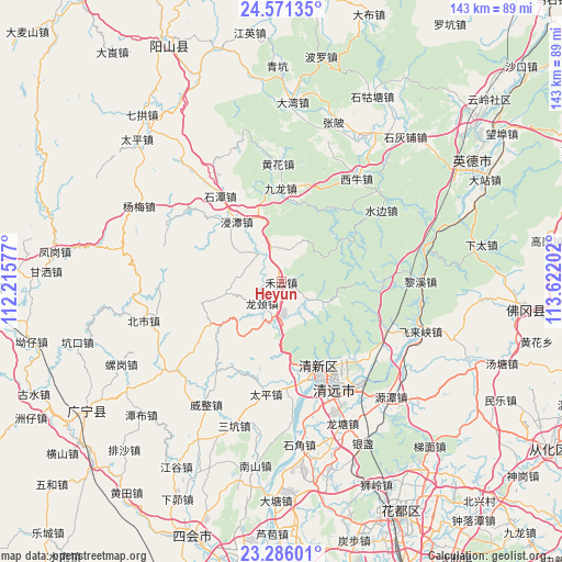
Heyun GPS coordinates[2]
23° 55' 49.008" North, 112° 55' 8.004" East
| Map corner | latitude | longitude |
|---|---|---|
| Upper-left | 24.57135°, | 112.21577° |
| Center: | 23.93028°, | 112.91889° |
| Lower-right: | 23.28601°, | 113.62202° |
| Map W x H: | 142.9×142.9 km | = 88.8×88.8mi |
| max Lat: | 53.31946° ⇑90.7% North |
| Heyun: | 23.93028° |
| min Lat: | ⇓9.3% South 18.22056° |
| min Long | Heyun | max Long |
| 75.07348° | 112.91889° | 134.28917° |
| W 42%⇐ | ⇒58% E |
Elevation
Elevation of Heyun is 82 m = 269 ft, and this is 402.8 m = 1322 ft below average elevation for this country.
| Max E: |
5622 m = 18445 ft | 63.1% |
| Avg. | 484.8 m = 1591 ft | |
| Heyun | 82 m = 269 ft | |
Min E: |
-3 m = -10 ft | 36.9% |
See also: China elevation on elevation.city.
Geographical zone
Heyun is located in North temperate zone (between Tropic of Cancer and the Arctic Circle). Distance of this Northern Tropic circle is 54.9 km =34.1 mi to South.| Distance of | km | miles | from Heyun |
|---|---|---|---|
| North Pole | 7346.3 | 4564.8 | to North |
| Arctic Circle | 4740.4 | 2945.5 | to North |
| Tropic Cancer | 54.9 | 34.1 | to South |
| Equator | 2660.8 | 1653.3 | to South |


Nearby cities:
15 places around Heyun: (largest is in red/bold)
• Dadong
18.9 km =11.7 mi,  54°
54°
• Dongcheng
26.2 km =16.3 mi,  147°
147°
• Fengcheng
24.5 km =15.2 mi, 152°
• Gaotian
29.4 km =18.3 mi,  115°
115°
• Huanghua
31.1 km =19.3 mi,  356°
356°
• Jintan
18.2 km =11.3 mi,  321°
321°
• Jiulong
23.3 km =14.5 mi, 356°
• Longjing
10.7 km =6.6 mi,  230°
230°
• Mingjing
30.1 km =18.7 mi, 357°
• Qingyuan
28.1 km =17.5 mi,  155°
155°
• Shaba
24.3 km =15.1 mi,  42°
42°
• Shahe
8.2 km =5.1 mi,  330°
330°
• Shitan
27.1 km =16.8 mi, 324°
• Taihe
22.5 km =14 mi, 164°
• Taiping
29.2 km =18.1 mi,  185°
185°
Sources, notices
• [Note1] Compared only with cities in China existing in our database
• [Src1] Map data: © OpenStreetMap contributors (CC-BY-SA)
• [Src2] Other city data from geonames.org with taken over terms of usage.
• [Src3] Geographical zone / Annual Mean Temperature by Robert A. Rohde @ Wikipedia
