Lianhe geodata
Lianhe (Guangdong) is a seat of a fourth-order administrative division; located in China in Asia/Shanghai (GMT+8) time zone. In our database, there are 1268 cities with bigger population. Compared to other cities in China, 91.2% of cities are located further ↑North; 59.3% of cities are located further →East and 59.2% of cities have lower elevation than Lianhe. Note1


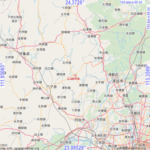
Lianhe GPS coordinates[2]
23° 43' 49.908" North, 112° 39' 13.572" East
| Map corner | latitude | longitude |
|---|---|---|
| Upper-left | 24.3726°, | 111.95065° |
| Center: | 23.73053°, | 112.65377° |
| Lower-right: | 23.08528°, | 113.3569° |
| Map W x H: | 143.1×143.1 km | = 88.9×88.9mi |
| max Lat: | 53.31946° ⇑91.2% North |
| Lianhe: | 23.73053° |
| min Lat: | ⇓8.8% South 18.22056° |
| min Long | Lianhe | max Long |
| 75.07348° | 112.65377° | 134.28917° |
| W 40.7%⇐ | ⇒59.3% E |
Elevation
Elevation of Lianhe is 250 m = 820 ft, and this is 234.8 m = 770 ft below average elevation for this country.
| Max E: |
5622 m = 18445 ft | 40.8% |
| Avg. | 484.8 m = 1591 ft | |
| Lianhe | 250 m = 820 ft | |
Min E: |
-3 m = -10 ft | 59.2% |
See also: China elevation on elevation.city.
Geographical zone
Lianhe is located in North temperate zone (between Tropic of Cancer and the Arctic Circle). Distance of this Northern Tropic circle is 32.7 km =20.3 mi to South.| Distance of | km | miles | from Lianhe |
|---|---|---|---|
| North Pole | 7368.5 | 4578.6 | to North |
| Arctic Circle | 4762.6 | 2959.3 | to North |
| Tropic Cancer | 32.7 | 20.3 | to South |
| Equator | 2638.6 | 1639.5 | to South |


Nearby cities:
15 places around Lianhe: (largest is in red/bold)
• Beishi
14.7 km =9.1 mi,  325°
325°
• Chikeng
22.4 km =13.9 mi,  306°
306°
• Didou
19.2 km =11.9 mi,  163°
163°
• Jianggu
25 km =15.5 mi,  178°
178°
• Jiangtun
3.8 km =2.4 mi,  251°
251°
• Kengkou
26.6 km =16.5 mi,  283°
283°
• Longjing
24.2 km =15 mi,  50°
50°
• Luogang
14.7 km =9.1 mi,  269°
269°
• Luoyuan
19.6 km =12.2 mi,  149°
149°
• Nanjie
24.7 km =15.3 mi,  244°
244°
• Paisha
25 km =15.5 mi,  210°
210°
• Sankeng
20.8 km =12.9 mi,  134°
134°
• Taiping
24.9 km =15.5 mi,  105°
105°
• Tanbu
15.3 km =9.5 mi,  218°
218°
• Weizheng
11.9 km =7.4 mi,  138°
138°
Sources, notices
• [Note1] Compared only with cities in China existing in our database
• [Src1] Map data: © OpenStreetMap contributors (CC-BY-SA)
• [Src2] Other city data from geonames.org with taken over terms of usage.
• [Src3] Geographical zone / Annual Mean Temperature by Robert A. Rohde @ Wikipedia
