Chikeng geodata
Chikeng (Guangdong) is a seat of a fourth-order administrative division; located in China in Asia/Shanghai (GMT+8) time zone. In our database, there are 1268 cities with bigger population. Compared to other cities in China, 90.8% of cities are located further ↑North; 60.2% of cities are located further →East and 62.8% of cities have lower elevation than Chikeng. Note1


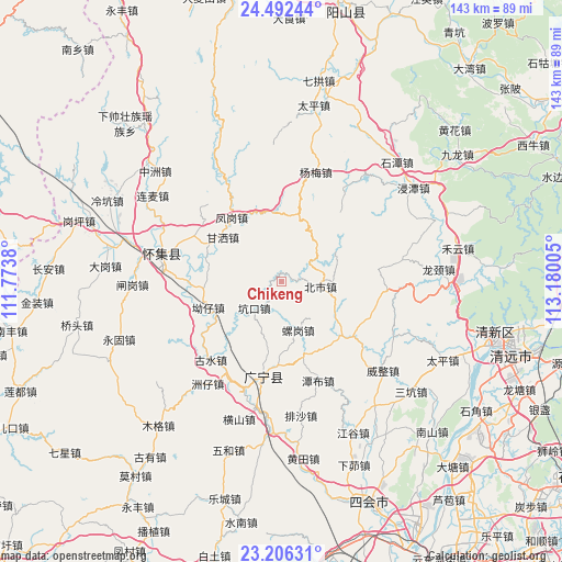
Chikeng GPS coordinates[2]
23° 51' 3.492" North, 112° 28' 36.912" East
| Map corner | latitude | longitude |
|---|---|---|
| Upper-left | 24.49244°, | 111.7738° |
| Center: | 23.85097°, | 112.47692° |
| Lower-right: | 23.20631°, | 113.18005° |
| Map W x H: | 143×143 km | = 88.9×88.9mi |
| max Lat: | 53.31946° ⇑90.8% North |
| Chikeng: | 23.85097° |
| min Lat: | ⇓9.2% South 18.22056° |
| min Long | Chikeng | max Long |
| 75.07348° | 112.47692° | 134.28917° |
| W 39.8%⇐ | ⇒60.2% E |
Elevation
Elevation of Chikeng is 293 m = 961 ft, and this is 191.8 m = 629 ft below average elevation for this country.
| Max E: |
5622 m = 18445 ft | 37.2% |
| Avg. | 484.8 m = 1591 ft | |
| Chikeng | 293 m = 961 ft | |
Min E: |
-3 m = -10 ft | 62.8% |
See also: China elevation on elevation.city.
Geographical zone
Chikeng is located in North temperate zone (between Tropic of Cancer and the Arctic Circle). Distance of this Northern Tropic circle is 46.1 km =28.6 mi to South.| Distance of | km | miles | from Chikeng |
|---|---|---|---|
| North Pole | 7355.1 | 4570.2 | to North |
| Arctic Circle | 4749.2 | 2951 | to North |
| Tropic Cancer | 46.1 | 28.6 | to South |
| Equator | 2652 | 1647.9 | to South |


Nearby cities:
15 places around Chikeng: (largest is in red/bold)
• Aozai
18.7 km =11.6 mi,  249°
249°
• Beishi
9.7 km =6 mi,  97°
97°
• Fenggang
19.8 km =12.3 mi,  318°
318°
• Gansa
21 km =13 mi,  307°
307°
• Gushui
25.6 km =15.9 mi,  224°
224°
• Huaicheng
31.5 km =19.6 mi,  284°
284°
• Jiangtun
20.5 km =12.7 mi,  135°
135°
• Kengkou
10.5 km =6.5 mi,  228°
228°
• Lianhe
22.4 km =13.9 mi,  126°
126°
• Luogang
13.9 km =8.6 mi,  166°
166°
• Nanjie
24.5 km =15.2 mi,  190°
190°
• Qiashui
30.2 km =18.8 mi,  330°
330°
• Tanbu
26.7 km =16.6 mi,  161°
161°
• Wenlang
24.8 km =15.4 mi, 306°
• Yangmei
28.9 km =18 mi,  16°
16°
Sources, notices
• [Note1] Compared only with cities in China existing in our database
• [Src1] Map data: © OpenStreetMap contributors (CC-BY-SA)
• [Src2] Other city data from geonames.org with taken over terms of usage.
• [Src3] Geographical zone / Annual Mean Temperature by Robert A. Rohde @ Wikipedia
