Donglu geodata
Donglu (Zhejiang) is a seat of a fourth-order administrative division; located in China in Asia/Shanghai (GMT+8) time zone. In our database, there are 1268 cities with bigger population. Compared to other cities in China, 65.1% of cities are located further ↑North; 73.4% of cities are located further ←West and 52.7% of cities have higher elevation than Donglu. Note1


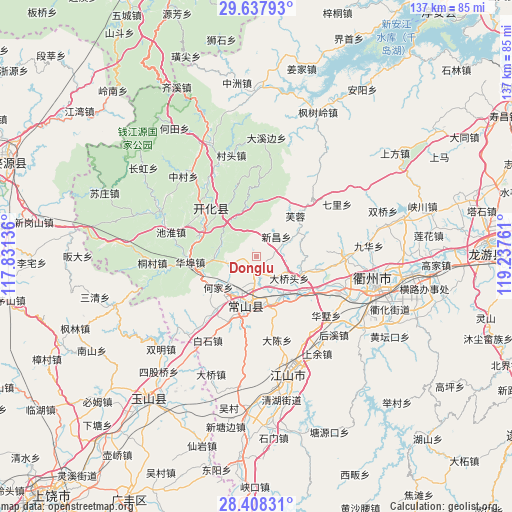
Donglu GPS coordinates[2]
29° 1' 29.82" North, 118° 32' 4.128" East
| Map corner | latitude | longitude |
|---|---|---|
| Upper-left | 29.63793°, | 117.83136° |
| Center: | 29.02495°, | 118.53448° |
| Lower-right: | 28.40831°, | 119.23761° |
| Map W x H: | 136.7×136.7 km | = 84.9×84.9mi |
| max Lat: | 53.31946° ⇑65.1% North |
| Donglu: | 29.02495° |
| min Lat: | ⇓34.9% South 18.22056° |
| min Long | Donglu | max Long |
| 75.07348° | 118.53448° | 134.28917° |
| W 73.4%⇐ | ⇒26.6% E |
Elevation
Elevation of Donglu is 145 m = 476 ft, and this is 339.8 m = 1115 ft below average elevation for this country.
| Max E: |
5622 m = 18445 ft | 52.7% |
| Avg. | 484.8 m = 1591 ft | |
| Donglu | 145 m = 476 ft | |
Min E: |
-3 m = -10 ft | 47.3% |
See also: China elevation on elevation.city.
Geographical zone
Donglu is located in North temperate zone (between Tropic of Cancer and the Arctic Circle). Distance of this Northern Tropic circle is 621.4 km =386.1 mi to South.| Distance of | km | miles | from Donglu |
|---|---|---|---|
| North Pole | 6779.8 | 4212.8 | to North |
| Arctic Circle | 4173.9 | 2593.5 | to North |
| Tropic Cancer | 621.4 | 386.1 | to South |
| Equator | 3227.3 | 2005.4 | to South |


Nearby cities:
15 places around Donglu: (largest is in red/bold)
• Dongshandi
15.7 km =9.8 mi,  44°
44°
• Dongwu
23.3 km =14.5 mi,  3°
3°
• Dong’an
12.8 km =8 mi,  111°
111°
• Fangcun
8.4 km =5.2 mi,  66°
66°
• Fengjia
11.7 km =7.3 mi,  265°
265°
• Furong
14.8 km =9.2 mi, 42°
• Huabu
18.1 km =11.2 mi, 267°
• Jincun
18.5 km =11.5 mi,  340°
340°
• Kaihua Chengguanzhen
18.1 km =11.2 mi,  317°
317°
• Qingshandi
15.2 km =9.4 mi,  295°
295°
• Shangsongfan
3.6 km =2.2 mi,  193°
193°
• Shangyuan
12.1 km =7.5 mi,  77°
77°
• Wenshan
21.5 km =13.4 mi, 303°
• Xikou
14 km =8.7 mi, 344°
• Xinchang
7.8 km =4.8 mi, 44°
Sources, notices
• [Note1] Compared only with cities in China existing in our database
• [Src1] Map data: © OpenStreetMap contributors (CC-BY-SA)
• [Src2] Other city data from geonames.org with taken over terms of usage.
• [Src3] Geographical zone / Annual Mean Temperature by Robert A. Rohde @ Wikipedia
