Luogang geodata
Luogang (Guangdong) is a seat of a fourth-order administrative division; located in China in Asia/Shanghai (GMT+8) time zone. In our database, there are 1268 cities with bigger population. Compared to other cities in China, 88.7% of cities are located further ↑North; 57.7% of cities are located further ←West and 52.9% of cities have lower elevation than Luogang. Note1


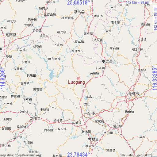
Luogang GPS coordinates[2]
24° 25' 35.904" North, 115° 37' 46.992" East
| Map corner | latitude | longitude |
|---|---|---|
| Upper-left | 25.06519°, | 114.9266° |
| Center: | 24.42664°, | 115.62972° |
| Lower-right: | 23.78484°, | 116.33285° |
| Map W x H: | 142.4×142.4 km | = 88.5×88.5mi |
| max Lat: | 53.31946° ⇑88.7% North |
| Luogang: | 24.42664° |
| min Lat: | ⇓11.3% South 18.22056° |
| min Long | Luogang | max Long |
| 75.07348° | 115.62972° | 134.28917° |
| W 57.7%⇐ | ⇒42.3% E |
Elevation
Elevation of Luogang is 188 m = 617 ft, and this is 296.8 m = 974 ft below average elevation for this country.
| Max E: |
5622 m = 18445 ft | 47.1% |
| Avg. | 484.8 m = 1591 ft | |
| Luogang | 188 m = 617 ft | |
Min E: |
-3 m = -10 ft | 52.9% |
See also: China elevation on elevation.city.
Geographical zone
Luogang is located in North temperate zone (between Tropic of Cancer and the Arctic Circle). Distance of this Northern Tropic circle is 110.1 km =68.4 mi to South.| Distance of | km | miles | from Luogang |
|---|---|---|---|
| North Pole | 7291.1 | 4530.5 | to North |
| Arctic Circle | 4685.2 | 2911.2 | to North |
| Tropic Cancer | 110.1 | 68.4 | to South |
| Equator | 2716 | 1687.6 | to South |


Nearby cities:
15 places around Luogang: (largest is in red/bold)
• Chiguang
20.7 km =12.9 mi,  257°
257°
• Daping
12.2 km =7.6 mi,  205°
205°
• Gangbei
11.8 km =7.3 mi,  144°
144°
• Heshui
21 km =13 mi,  160°
160°
• Huangbei
11.1 km =6.9 mi,  98°
98°
• Huanghuai
15.4 km =9.6 mi,  72°
72°
• Huilong
12.3 km =7.6 mi,  239°
239°
• Longbei
18.5 km =11.5 mi,  148°
148°
• Luofu
12.3 km =7.6 mi,  335°
335°
• Meixi
22.9 km =14.2 mi,  81°
81°
• Pingyang
11.9 km =7.4 mi, 159°
• Shikeng
20.6 km =12.8 mi, 101°
• Shizheng
22.2 km =13.8 mi,  63°
63°
• Xintian
11.7 km =7.3 mi,  286°
286°
• Yanzhen
19.5 km =12.1 mi, 291°
Sources, notices
• [Note1] Compared only with cities in China existing in our database
• [Src1] Map data: © OpenStreetMap contributors (CC-BY-SA)
• [Src2] Other city data from geonames.org with taken over terms of usage.
• [Src3] Geographical zone / Annual Mean Temperature by Robert A. Rohde @ Wikipedia
