Chiguang geodata
Chiguang (Guangdong) is a seat of a fourth-order administrative division; located in China in Asia/Shanghai (GMT+8) time zone. In our database, there are 1268 cities with bigger population. Compared to other cities in China, 88.9% of cities are located further ↑North; 56.6% of cities are located further ←West and 57.3% of cities have lower elevation than Chiguang. Note1


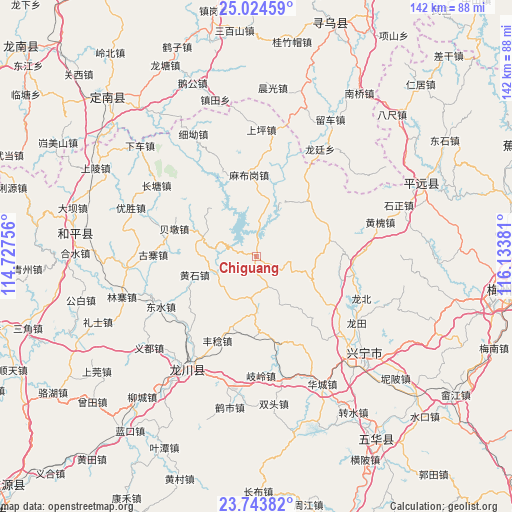
Chiguang GPS coordinates[2]
24° 23' 8.988" North, 115° 25' 50.448" East
| Map corner | latitude | longitude |
|---|---|---|
| Upper-left | 25.02459°, | 114.72756° |
| Center: | 24.38583°, | 115.43068° |
| Lower-right: | 23.74382°, | 116.13381° |
| Map W x H: | 142.4×142.4 km | = 88.5×88.5mi |
| max Lat: | 53.31946° ⇑88.9% North |
| Chiguang: | 24.38583° |
| min Lat: | ⇓11.1% South 18.22056° |
| min Long | Chiguang | max Long |
| 75.07348° | 115.43068° | 134.28917° |
| W 56.6%⇐ | ⇒43.4% E |
Elevation
Elevation of Chiguang is 228 m = 748 ft, and this is 256.8 m = 843 ft below average elevation for this country.
| Max E: |
5622 m = 18445 ft | 42.7% |
| Avg. | 484.8 m = 1591 ft | |
| Chiguang | 228 m = 748 ft | |
Min E: |
-3 m = -10 ft | 57.3% |
See also: China elevation on elevation.city.
Geographical zone
Chiguang is located in North temperate zone (between Tropic of Cancer and the Arctic Circle). Distance of this Northern Tropic circle is 105.5 km =65.6 mi to South.| Distance of | km | miles | from Chiguang |
|---|---|---|---|
| North Pole | 7295.6 | 4533.3 | to North |
| Arctic Circle | 4689.7 | 2914 | to North |
| Tropic Cancer | 105.5 | 65.6 | to South |
| Equator | 2711.5 | 1684.8 | to South |


Nearby cities:
15 places around Chiguang: (largest is in red/bold)
• Beidun
23.5 km =14.6 mi,  289°
289°
• Chetian
15.5 km =9.6 mi, 289°
• Daping
16.3 km =10.1 mi,  113°
113°
• Guqian
22.6 km =14 mi,  181°
181°
• Huangshi
17.8 km =11.1 mi,  253°
253°
• Huilong
9.8 km =6.1 mi,  100°
100°
• Lizui
11.2 km =7 mi, 245°
• Longmu
13.6 km =8.5 mi, 177°
• Luofu
21.7 km =13.5 mi,  43°
43°
• Luogang
20.7 km =12.9 mi,  77°
77°
• Mabugang
22.7 km =14.1 mi,  355°
355°
• Pingyang
25.2 km =15.7 mi, 105°
• Tianxin
14.8 km =9.2 mi,  155°
155°
• Xintian
12 km =7.5 mi,  48°
48°
• Yanzhen
11.7 km =7.3 mi,  9°
9°
Sources, notices
• [Note1] Compared only with cities in China existing in our database
• [Src1] Map data: © OpenStreetMap contributors (CC-BY-SA)
• [Src2] Other city data from geonames.org with taken over terms of usage.
• [Src3] Geographical zone / Annual Mean Temperature by Robert A. Rohde @ Wikipedia
