Datian geodata
Datian (Guangdong) is a seat of a fourth-order administrative division; located in China in Asia/Shanghai (GMT+8) time zone. In our database, there are 1268 cities with bigger population. Compared to other cities in China, 90.8% of cities are located further ↑North; 56.7% of cities are located further ←West and 57% of cities have lower elevation than Datian. Note1


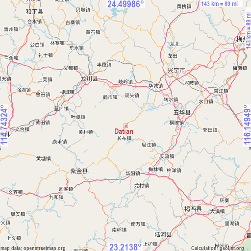
Datian GPS coordinates[2]
23° 51' 30.348" North, 115° 26' 46.896" East
| Map corner | latitude | longitude |
|---|---|---|
| Upper-left | 24.49986°, | 114.74324° |
| Center: | 23.85843°, | 115.44636° |
| Lower-right: | 23.2138°, | 116.14949° |
| Map W x H: | 143×143 km | = 88.9×88.9mi |
| max Lat: | 53.31946° ⇑90.8% North |
| Datian: | 23.85843° |
| min Lat: | ⇓9.2% South 18.22056° |
| min Long | Datian | max Long |
| 75.07348° | 115.44636° | 134.28917° |
| W 56.7%⇐ | ⇒43.3% E |
Elevation
Elevation of Datian is 226 m = 741 ft, and this is 258.8 m = 849 ft below average elevation for this country.
| Max E: |
5622 m = 18445 ft | 43% |
| Avg. | 484.8 m = 1591 ft | |
| Datian | 226 m = 741 ft | |
Min E: |
-3 m = -10 ft | 57% |
See also: China elevation on elevation.city.
Geographical zone
Datian is located in North temperate zone (between Tropic of Cancer and the Arctic Circle). Distance of this Northern Tropic circle is 46.9 km =29.1 mi to South.| Distance of | km | miles | from Datian |
|---|---|---|---|
| North Pole | 7354.3 | 4569.7 | to North |
| Arctic Circle | 4748.4 | 2950.5 | to North |
| Tropic Cancer | 46.9 | 29.1 | to South |
| Equator | 2652.8 | 1648.4 | to South |


Nearby cities:
15 places around Datian: (largest is in red/bold)
• Changbu
7.3 km =4.5 mi,  187°
187°
• Dengyun
24.1 km =15 mi,  347°
347°
• Heshi
18.9 km =11.7 mi,  331°
331°
• Huangbu
20.1 km =12.5 mi,  312°
312°
• Huangcun
22.5 km =14 mi,  263°
263°
• Jingzi
25.6 km =15.9 mi, 188°
• Qiling
25.9 km =16.1 mi,  0°
0°
• Shizikeng
25.7 km =16 mi, 350°
• Shuangtou
18.7 km =11.6 mi,  11°
11°
• Tanxia
13.2 km =8.2 mi,  43°
43°
• Tongqu
22.4 km =13.9 mi,  341°
341°
• Yetan
27.7 km =17.2 mi,  281°
281°
• Zhongba
19.4 km =12.1 mi,  211°
211°
• Zhoujiang
17 km =10.6 mi,  130°
130°
• Zishi
12.7 km =7.9 mi, 310°
Sources, notices
• [Note1] Compared only with cities in China existing in our database
• [Src1] Map data: © OpenStreetMap contributors (CC-BY-SA)
• [Src2] Other city data from geonames.org with taken over terms of usage.
• [Src3] Geographical zone / Annual Mean Temperature by Robert A. Rohde @ Wikipedia
