Nanqiao geodata
Nanqiao (Hebei) is a seat of a fourth-order administrative division; located in China in Asia/Shanghai (GMT+8) time zone. In our database, there are 1268 cities with bigger population. Compared to other cities in China, 81.8% of cities are located further ↓South; 51.9% of cities are located further ←West and 57.7% of cities have higher elevation than Nanqiao. Note1


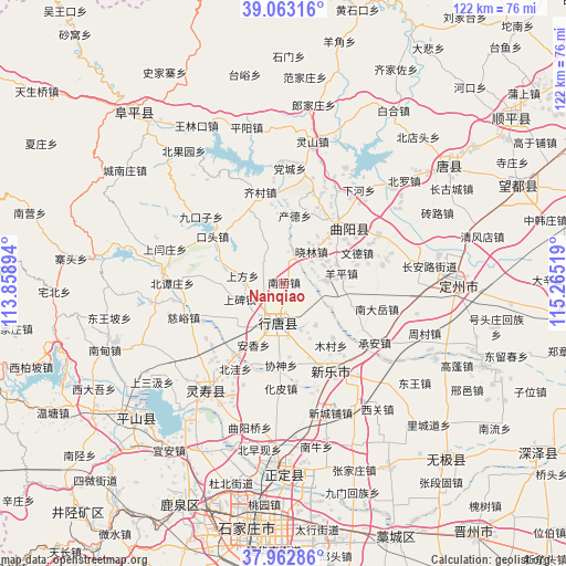
Nanqiao GPS coordinates[2]
38° 30' 54.396" North, 114° 33' 43.416" East
| Map corner | latitude | longitude |
|---|---|---|
| Upper-left | 39.06316°, | 113.85894° |
| Center: | 38.51511°, | 114.56206° |
| Lower-right: | 37.96286°, | 115.26519° |
| Map W x H: | 122.3×122.3 km | = 76×76mi |
| max Lat: | 53.31946° ⇑18.2% North |
| Nanqiao: | 38.51511° |
| min Lat: | ⇓81.8% South 18.22056° |
| min Long | Nanqiao | max Long |
| 75.07348° | 114.56206° | 134.28917° |
| W 51.9%⇐ | ⇒48.1% E |
Elevation
Elevation of Nanqiao is 113 m = 371 ft, and this is 371.8 m = 1220 ft below average elevation for this country.
| Max E: |
5622 m = 18445 ft | 57.7% |
| Avg. | 484.8 m = 1591 ft | |
| Nanqiao | 113 m = 371 ft | |
Min E: |
-3 m = -10 ft | 42.3% |
See also: China elevation on elevation.city.
Geographical zone
Nanqiao is located in North temperate zone (between Tropic of Cancer and the Arctic Circle). Distance of this Northern Tropic circle is 1676.6 km =1041.8 mi to South.| Distance of | km | miles | from Nanqiao |
|---|---|---|---|
| North Pole | 5724.6 | 3557.1 | to North |
| Arctic Circle | 3118.7 | 1937.9 | to North |
| Tropic Cancer | 1676.6 | 1041.8 | to South |
| Equator | 4282.5 | 2661 | to South |


Nearby cities:
15 places around Nanqiao: (largest is in red/bold)
• Anxiang
14.8 km =9.2 mi,  187°
187°
• Beihe
14.1 km =8.8 mi,  336°
336°
• Chande
14.7 km =9.1 mi,  7°
7°
• Diying
13.9 km =8.6 mi,  229°
229°
• Duyanggang
7.3 km =4.5 mi,  162°
162°
• Luzhuangzi
13.9 km =8.6 mi,  44°
44°
• Mucun
15.8 km =9.8 mi,  138°
138°
• Shangbei
9.8 km =6.1 mi,  249°
249°
• Shangfang
9.1 km =5.7 mi,  279°
279°
• Shitong
10.9 km =6.8 mi,  208°
208°
• Xiaolin
8.8 km =5.5 mi, 43°
• Yangping
12.8 km =8 mi,  83°
83°
• Yuting
5.1 km =3.2 mi,  297°
297°
• Zhengmo
15.7 km =9.8 mi,  109°
109°
• Zhili
12.9 km =8 mi,  173°
173°
Sources, notices
• [Note1] Compared only with cities in China existing in our database
• [Src1] Map data: © OpenStreetMap contributors (CC-BY-SA)
• [Src2] Other city data from geonames.org with taken over terms of usage.
• [Src3] Geographical zone / Annual Mean Temperature by Robert A. Rohde @ Wikipedia
