Guiyang geodata
Guiyang (Fujian) is a seat of a fourth-order administrative division; located in China in Asia/Shanghai (GMT+8) time zone. In our database, there are 1268 cities with bigger population. Compared to other cities in China, 83.3% of cities are located further ↑North; 71.6% of cities are located further ←West and 84.9% of cities have lower elevation than Guiyang. Note1


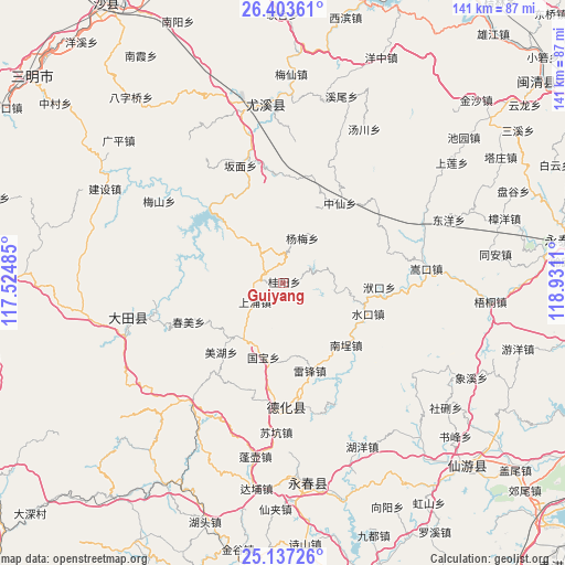
Guiyang GPS coordinates[2]
25° 46' 19.632" North, 118° 13' 40.692" East
| Map corner | latitude | longitude |
|---|---|---|
| Upper-left | 26.40361°, | 117.52485° |
| Center: | 25.77212°, | 118.22797° |
| Lower-right: | 25.13726°, | 118.9311° |
| Map W x H: | 140.8×140.8 km | = 87.5×87.5mi |
| max Lat: | 53.31946° ⇑83.3% North |
| Guiyang: | 25.77212° |
| min Lat: | ⇓16.7% South 18.22056° |
| min Long | Guiyang | max Long |
| 75.07348° | 118.22797° | 134.28917° |
| W 71.6%⇐ | ⇒28.4% E |
Elevation
Elevation of Guiyang is 980 m = 3215 ft, and this is 495.2 m = 1625 ft above average elevation for this country.
| Max E: |
5622 m = 18445 ft | 15.1% |
| Guiyang | 980 m 3215 ft | |
| Avg. | 484.8 m = 1591 ft | |
Min E: |
-3 m = -10 ft | 84.9% |
See also: China elevation on elevation.city.
Geographical zone
Guiyang is located in North temperate zone (between Tropic of Cancer and the Arctic Circle). Distance of this Northern Tropic circle is 259.7 km =161.4 mi to South.| Distance of | km | miles | from Guiyang |
|---|---|---|---|
| North Pole | 7141.5 | 4437.5 | to North |
| Arctic Circle | 4535.6 | 2818.3 | to North |
| Tropic Cancer | 259.7 | 161.4 | to South |
| Equator | 2865.6 | 1780.6 | to South |


Nearby cities:
15 places around Guiyang: (largest is in red/bold)
• Chishui
17.3 km =10.7 mi,  215°
215°
• Chunmei
25.4 km =15.8 mi,  247°
247°
• Daming
17.5 km =10.9 mi,  238°
238°
• Fukou
24 km =14.9 mi,  92°
92°
• Gaiyang
26.7 km =16.6 mi,  73°
73°
• Gekeng
8.8 km =5.5 mi,  342°
342°
• Guobao
18.7 km =11.6 mi,  195°
195°
• Humei
29.5 km =18.3 mi,  274°
274°
• Leifeng
22.8 km =14.2 mi,  163°
163°
• Meihu
22.9 km =14.2 mi, 220°
• Nancheng
21.7 km =13.5 mi,  133°
133°
• Shangyong
8.2 km =5.1 mi, 239°
• Shuikou
21.4 km =13.3 mi,  108°
108°
• Tangtou
10.3 km =6.4 mi,  291°
291°
• Zhongxian
24.4 km =15.2 mi,  35°
35°
Sources, notices
• [Note1] Compared only with cities in China existing in our database
• [Src1] Map data: © OpenStreetMap contributors (CC-BY-SA)
• [Src2] Other city data from geonames.org with taken over terms of usage.
• [Src3] Geographical zone / Annual Mean Temperature by Robert A. Rohde @ Wikipedia
