Sigangtou geodata
Sigangtou (Hunan) is a seat of a fourth-order administrative division; located in China in Asia/Shanghai (GMT+8) time zone. In our database, there are 1268 cities with bigger population. Compared to other cities in China, 63.5% of cities are located further ↑North; 68.4% of cities are located further →East and 56% of cities have lower elevation than Sigangtou. Note1


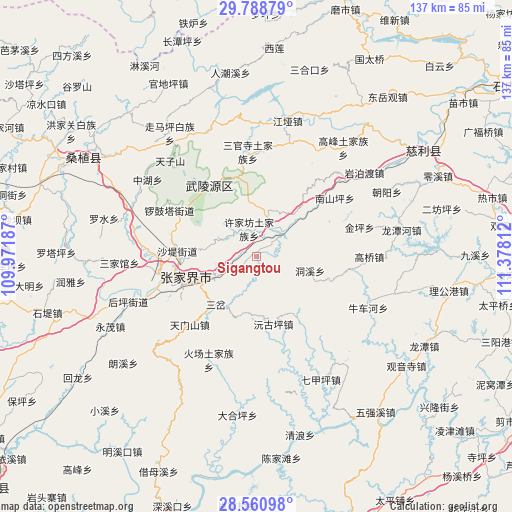
Sigangtou GPS coordinates[2]
29° 10' 36.192" North, 110° 40' 29.964" East
| Map corner | latitude | longitude |
|---|---|---|
| Upper-left | 29.78879°, | 109.97187° |
| Center: | 29.17672°, | 110.67499° |
| Lower-right: | 28.56098°, | 111.37812° |
| Map W x H: | 136.5×136.5 km | = 84.8×84.8mi |
| max Lat: | 53.31946° ⇑63.5% North |
| Sigangtou: | 29.17672° |
| min Lat: | ⇓36.5% South 18.22056° |
| min Long | Sigangtou | max Long |
| 75.07348° | 110.67499° | 134.28917° |
| W 31.6%⇐ | ⇒68.4% E |
Elevation
Elevation of Sigangtou is 216 m = 709 ft, and this is 268.8 m = 882 ft below average elevation for this country.
| Max E: |
5622 m = 18445 ft | 44% |
| Avg. | 484.8 m = 1591 ft | |
| Sigangtou | 216 m = 709 ft | |
Min E: |
-3 m = -10 ft | 56% |
See also: China elevation on elevation.city.
Geographical zone
Sigangtou is located in North temperate zone (between Tropic of Cancer and the Arctic Circle). Distance of this Northern Tropic circle is 638.2 km =396.6 mi to South.| Distance of | km | miles | from Sigangtou |
|---|---|---|---|
| North Pole | 6762.9 | 4202.3 | to North |
| Arctic Circle | 4157 | 2583 | to North |
| Tropic Cancer | 638.2 | 396.6 | to South |
| Equator | 3244.1 | 2015.8 | to South |


Nearby cities:
15 places around Sigangtou: (largest is in red/bold)
• Dongxi
15.1 km =9.4 mi,  104°
104°
• Ganyan
15.2 km =9.4 mi,  41°
41°
• Hezuoqiao
10.7 km =6.6 mi,  295°
295°
• Jianxin
12.6 km =7.8 mi,  253°
253°
• Liulang
20.6 km =12.8 mi,  308°
308°
• Sancha
16.7 km =10.4 mi,  220°
220°
• Shadi
20.6 km =12.8 mi,  274°
274°
• Shuangxiqiao
17.2 km =10.7 mi,  191°
191°
• Wangjiaping
20 km =12.4 mi,  137°
137°
• Xikou
9.7 km =6 mi,  56°
56°
• Xinqiao
16.4 km =10.2 mi, 274°
• Xujiafang
7.7 km =4.8 mi,  345°
345°
• Yanghe
10.2 km =6.3 mi,  16°
16°
• Yuanguping
18.5 km =11.5 mi,  164°
164°
• Zhangjiajie
19.8 km =12.3 mi, 254°
Sources, notices
• [Note1] Compared only with cities in China existing in our database
• [Src1] Map data: © OpenStreetMap contributors (CC-BY-SA)
• [Src2] Other city data from geonames.org with taken over terms of usage.
• [Src3] Geographical zone / Annual Mean Temperature by Robert A. Rohde @ Wikipedia
