Yanghe geodata
Yanghe (Hunan) is a seat of a fourth-order administrative division; located in China in Asia/Shanghai (GMT+8) time zone. In our database, there are 1268 cities with bigger population. Compared to other cities in China, 62.5% of cities are located further ↑North; 68.3% of cities are located further →East and 52.9% of cities have lower elevation than Yanghe. Note1


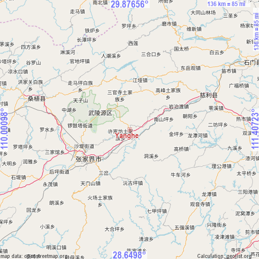
Yanghe GPS coordinates[2]
29° 15' 54.072" North, 110° 42' 14.76" East
| Map corner | latitude | longitude |
|---|---|---|
| Upper-left | 29.87656°, | 110.00098° |
| Center: | 29.26502°, | 110.7041° |
| Lower-right: | 28.6498°, | 111.40723° |
| Map W x H: | 136.4×136.4 km | = 84.8×84.8mi |
| max Lat: | 53.31946° ⇑62.5% North |
| Yanghe: | 29.26502° |
| min Lat: | ⇓37.5% South 18.22056° |
| min Long | Yanghe | max Long |
| 75.07348° | 110.7041° | 134.28917° |
| W 31.7%⇐ | ⇒68.3% E |
Elevation
Elevation of Yanghe is 188 m = 617 ft, and this is 296.8 m = 974 ft below average elevation for this country.
| Max E: |
5622 m = 18445 ft | 47.1% |
| Avg. | 484.8 m = 1591 ft | |
| Yanghe | 188 m = 617 ft | |
Min E: |
-3 m = -10 ft | 52.9% |
See also: China elevation on elevation.city.
Geographical zone
Yanghe is located in North temperate zone (between Tropic of Cancer and the Arctic Circle). Distance of this Northern Tropic circle is 648 km =402.6 mi to South.| Distance of | km | miles | from Yanghe |
|---|---|---|---|
| North Pole | 6753.1 | 4196.2 | to North |
| Arctic Circle | 4147.2 | 2576.9 | to North |
| Tropic Cancer | 648 | 402.6 | to South |
| Equator | 3254 | 2021.9 | to South |


Nearby cities:
15 places around Yanghe: (largest is in red/bold)
• Dongxi
18 km =11.2 mi,  139°
139°
• Ganyan
7.4 km =4.6 mi,  78°
78°
• Hezuoqiao
13.6 km =8.5 mi,  247°
247°
• Jianxin
20 km =12.4 mi,  228°
228°
• Jinping
24.7 km =15.3 mi,  94°
94°
• Liulang
19.1 km =11.9 mi,  279°
279°
• Nanshanping
19.3 km =12 mi,  72°
72°
• Sanguansi
19.1 km =11.9 mi,  344°
344°
• Sigangtou
10.2 km =6.3 mi,  196°
196°
• Wulingyuan
18.1 km =11.2 mi,  301°
301°
• Xikou
6.8 km =4.2 mi,  129°
129°
• Xinqiao
21 km =13 mi, 246°
• Xujiafang
5.3 km =3.3 mi,  243°
243°
• Yichongqiao
16.9 km =10.5 mi,  64°
64°
• Yujiazui
16.9 km =10.5 mi,  305°
305°
Sources, notices
• [Note1] Compared only with cities in China existing in our database
• [Src1] Map data: © OpenStreetMap contributors (CC-BY-SA)
• [Src2] Other city data from geonames.org with taken over terms of usage.
• [Src3] Geographical zone / Annual Mean Temperature by Robert A. Rohde @ Wikipedia
