Hetian geodata
Hetian (Hunan) is a seat of a fourth-order administrative division; located in China in Asia/Shanghai (GMT+8) time zone. In our database, there are 1268 cities with bigger population. Compared to other cities in China, 77.2% of cities are located further ↑North; 67.1% of cities are located further →East and 69.6% of cities have lower elevation than Hetian. Note1


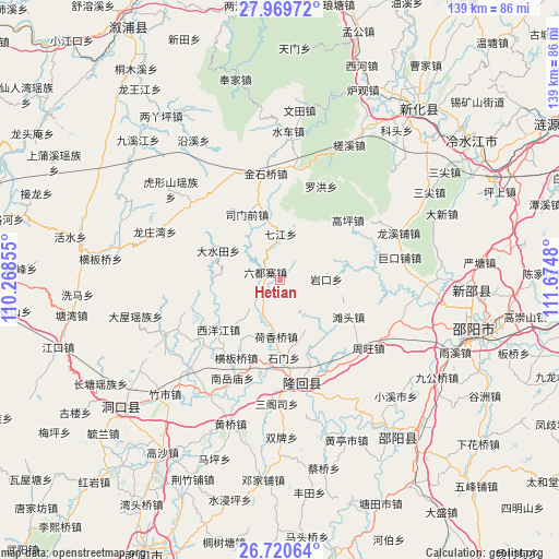
Hetian GPS coordinates[2]
27° 20' 48.984" North, 110° 58' 18.012" East
| Map corner | latitude | longitude |
|---|---|---|
| Upper-left | 27.96972°, | 110.26855° |
| Center: | 27.34694°, | 110.97167° |
| Lower-right: | 26.72064°, | 111.6748° |
| Map W x H: | 138.9×138.9 km | = 86.3×86.3mi |
| max Lat: | 53.31946° ⇑77.2% North |
| Hetian: | 27.34694° |
| min Lat: | ⇓22.8% South 18.22056° |
| min Long | Hetian | max Long |
| 75.07348° | 110.97167° | 134.28917° |
| W 32.9%⇐ | ⇒67.1% E |
Elevation
Elevation of Hetian is 403 m = 1322 ft, and this is 81.8 m = 268 ft below average elevation for this country.
| Max E: |
5622 m = 18445 ft | 30.4% |
| Avg. | 484.8 m = 1591 ft | |
| Hetian | 403 m = 1322 ft | |
Min E: |
-3 m = -10 ft | 69.6% |
See also: China elevation on elevation.city.
Geographical zone
Hetian is located in North temperate zone (between Tropic of Cancer and the Arctic Circle). Distance of this Northern Tropic circle is 434.8 km =270.2 mi to South.| Distance of | km | miles | from Hetian |
|---|---|---|---|
| North Pole | 6966.4 | 4328.7 | to North |
| Arctic Circle | 4360.5 | 2709.5 | to North |
| Tropic Cancer | 434.8 | 270.2 | to South |
| Equator | 3040.7 | 1889.4 | to South |


Nearby cities:
15 places around Hetian: (largest is in red/bold)
• Dashuitian
17.1 km =10.6 mi,  295°
295°
• Gaoping
22.4 km =13.9 mi,  48°
48°
• Hengbanqiao
22.1 km =13.7 mi,  208°
208°
• Hexiangqiao
14.1 km =8.8 mi,  183°
183°
• Jinshiqiao
26.6 km =16.5 mi,  352°
352°
• Liuduzhai
4.2 km =2.6 mi, 300°
• Luohong
25.3 km =15.7 mi,  23°
23°
• Qijiang
11.4 km =7.1 mi,  0°
0°
• Shimen
14.5 km =9 mi,  156°
156°
• Simenqian
17.7 km =11 mi,  331°
331°
• Tantou
19.4 km =12.1 mi,  118°
118°
• Xiyangjiang
22.4 km =13.9 mi,  219°
219°
• Yanggu’ao
15.8 km =9.8 mi, 349°
• Yankou
11.5 km =7.1 mi,  89°
89°
• Yushanpu
25.9 km =16.1 mi,  147°
147°
Sources, notices
• [Note1] Compared only with cities in China existing in our database
• [Src1] Map data: © OpenStreetMap contributors (CC-BY-SA)
• [Src2] Other city data from geonames.org with taken over terms of usage.
• [Src3] Geographical zone / Annual Mean Temperature by Robert A. Rohde @ Wikipedia
