Zhengjiatun geodata
Zhengjiatun (Jilin) is a populated place; located in China in Asia/Shanghai (GMT+8) time zone. With population of 93,666 people, there are 453 cities with bigger population in this country. Compared to other cities in China, 92.3% of cities are located further ↓South; 93.2% of cities are located further ←West and 57.1% of cities have higher elevation than Zhengjiatun. Note1


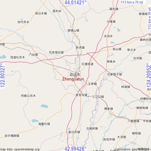
Zhengjiatun GPS coordinates[2]
43° 30' 23.004" North, 123° 30' 23.004" East
| Map corner | latitude | longitude |
|---|---|---|
| Upper-left | 44.01421°, | 122.80327° |
| Center: | 43.50639°, | 123.50639° |
| Lower-right: | 42.99426°, | 124.20952° |
| Map W x H: | 113.4×113.4 km | = 70.5×70.5mi |
| max Lat: | 53.31946° ⇑7.7% North |
| Zhengjiatun: | 43.50639° |
| min Lat: | ⇓92.3% South 18.22056° |
| min Long | Zhengjiatun | max Long |
| 75.07348° | 123.50639° | 134.28917° |
| W 93.2%⇐ | ⇒6.8% E |
Elevation
Elevation of Zhengjiatun is 117 m = 384 ft, and this is 367.8 m = 1207 ft below average elevation for this country.
| Max E: |
5622 m = 18445 ft | 57.1% |
| Avg. | 484.8 m = 1591 ft | |
| Zhengjiatun | 117 m = 384 ft | |
Min E: |
-3 m = -10 ft | 42.9% |
See also: Zhengjiatun elevation on elevation.city.
Geographical zone
Zhengjiatun is located in North temperate zone (between Tropic of Cancer and the Arctic Circle). Distance of this Northern Tropic circle is 2231.5 km =1386.6 mi to South.| Distance of | km | miles | from Zhengjiatun |
|---|---|---|---|
| North Pole | 5169.6 | 3212.2 | to North |
| Arctic Circle | 2563.7 | 1593 | to North |
| Tropic Cancer | 2231.5 | 1386.6 | to South |
| Equator | 4837.5 | 3005.9 | to South |


Nearby cities:
15 places around Zhengjiatun: (largest is in red/bold)
• Bamiancheng
55.7 km =34.6 mi,  128°
128°
• Baokang
70.1 km =43.6 mi,  346°
346°
• Beisijiazi
73.2 km =45.5 mi,  181°
181°
• Fujia
34.9 km =21.7 mi,  135°
135°
• Haizhouwobao
64.1 km =39.8 mi,  189°
189°
• Jinjia
80.1 km =49.8 mi,  168°
168°
• Laowobao
64 km =39.8 mi, 178°
• Liangjiazi
81 km =50.3 mi, 181°
• Lishu
70 km =43.5 mi,  108°
108°
• Maojiadian
82 km =51 mi, 129°
• Qiujia
63 km =39.1 mi, 133°
• Quangou
70.9 km =44.1 mi,  120°
120°
• Qujiadian
46.5 km =28.9 mi, 132°
• Siping
80.2 km =49.8 mi, 118°
• Xiaochengzi
72.8 km =45.2 mi,  199°
199°
Sources, notices
• [Note1] Compared only with cities in China existing in our database
• [Src1] Map data: © OpenStreetMap contributors (CC-BY-SA)
• [Src2] Other city data from geonames.org with taken over terms of usage.
• [Src3] Geographical zone / Annual Mean Temperature by Robert A. Rohde @ Wikipedia
