Quangou geodata
Quangou (Liaoning) is a seat of a fourth-order administrative division; located in China in Asia/Shanghai (GMT+8) time zone. In our database, there are 1268 cities with bigger population. Compared to other cities in China, 92.1% of cities are located further ↓South; 94.1% of cities are located further ←West and 51.1% of cities have lower elevation than Quangou. Note1


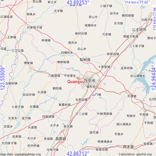
Quangou GPS coordinates[2]
43° 10' 55.128" North, 124° 15' 40.356" East
| Map corner | latitude | longitude |
|---|---|---|
| Upper-left | 43.69253°, | 123.55809° |
| Center: | 43.18198°, | 124.26121° |
| Lower-right: | 42.66712°, | 124.96434° |
| Map W x H: | 114×114 km | = 70.8×70.8mi |
| max Lat: | 53.31946° ⇑7.9% North |
| Quangou: | 43.18198° |
| min Lat: | ⇓92.1% South 18.22056° |
| min Long | Quangou | max Long |
| 75.07348° | 124.26121° | 134.28917° |
| W 94.1%⇐ | ⇒5.9% E |
Elevation
Elevation of Quangou is 174 m = 571 ft, and this is 310.8 m = 1020 ft below average elevation for this country.
| Max E: |
5622 m = 18445 ft | 48.9% |
| Avg. | 484.8 m = 1591 ft | |
| Quangou | 174 m = 571 ft | |
Min E: |
-3 m = -10 ft | 51.1% |
See also: China elevation on elevation.city.
Geographical zone
Quangou is located in North temperate zone (between Tropic of Cancer and the Arctic Circle). Distance of this Northern Tropic circle is 2195.5 km =1364.2 mi to South.| Distance of | km | miles | from Quangou |
|---|---|---|---|
| North Pole | 5205.7 | 3234.7 | to North |
| Arctic Circle | 2599.8 | 1615.4 | to North |
| Tropic Cancer | 2195.5 | 1364.2 | to South |
| Equator | 4801.4 | 2983.5 | to South |


Nearby cities:
15 places around Quangou: (largest is in red/bold)
• Bamiancheng
17.3 km =10.7 mi,  275°
275°
• Changtu
46.8 km =29.1 mi,  196°
196°
• Daxing
55.4 km =34.4 mi,  217°
217°
• Ertaizi
38.3 km =23.8 mi,  206°
206°
• Fujia
38.2 km =23.7 mi,  287°
287°
• Gongzhuling
57.4 km =35.7 mi,  51°
51°
• Laocheng
49.4 km =30.7 mi, 206°
• Lishu
14.7 km =9.1 mi,  21°
21°
• Maojiadian
15.8 km =9.8 mi,  170°
170°
• Mazhonghe
55.5 km =34.5 mi, 200°
• Qiujia
16.9 km =10.5 mi,  244°
244°
• Quantou
36 km =22.4 mi,  191°
191°
• Qujiadian
27.3 km =17 mi, 279°
• Siping
9.7 km =6 mi,  103°
103°
• Xia’ertai
26 km =16.2 mi, 174°
Sources, notices
• [Note1] Compared only with cities in China existing in our database
• [Src1] Map data: © OpenStreetMap contributors (CC-BY-SA)
• [Src2] Other city data from geonames.org with taken over terms of usage.
• [Src3] Geographical zone / Annual Mean Temperature by Robert A. Rohde @ Wikipedia
